The kids and I have been on a little bit of the John Wayne Pioneer Trail/Iron Horse State Park twice: five years ago with the old mama bike and balance bikes and two years ago with the Big Dummy and kid pedal bikes. Both super fun and epic by our standards. But with the kids away on a vacation and a couple days to kill before my Mount Rainier and Mount St Helens trip with Brad (yes, same Brad from the Iron Horse trips of yore), I thought it’d be fun to ride all the way to and through the tunnel with Pixie.
In a nutshell, it was awesome, but I took a not-so-nice route to get to the start of the start of the trail so I need to try it again.
Pictures! Flickr: Iron Horse Trail – August 7-8, 2016 (261 photos, 1 video).
I did a teensy bit of research before heading out, but when I don’t bring the kids along I tend to be a little more fly-by-the-seat-of-my-pants since I’m only responsible for myself.
I was inspired by Seattle Bike Blog: Bus-bike-backpacking on the Iron Horse Trail is simply unreal, but my Surly Straggler has a front rack and doesn’t fit on our bus racks and I kind of wanted to ride the whole way for fun (and save bus fare). And this Biking Bis: Washington state lists parks with bike/hike campsites helpfully listed the four campsites (lower numbers are farther from Seattle):
- Alice Creek – Milepost 2127
- Carter Creek – Milepost 2123
- Cold Creek – Milepost 2113
- Roaring Creek – Milepost 2109
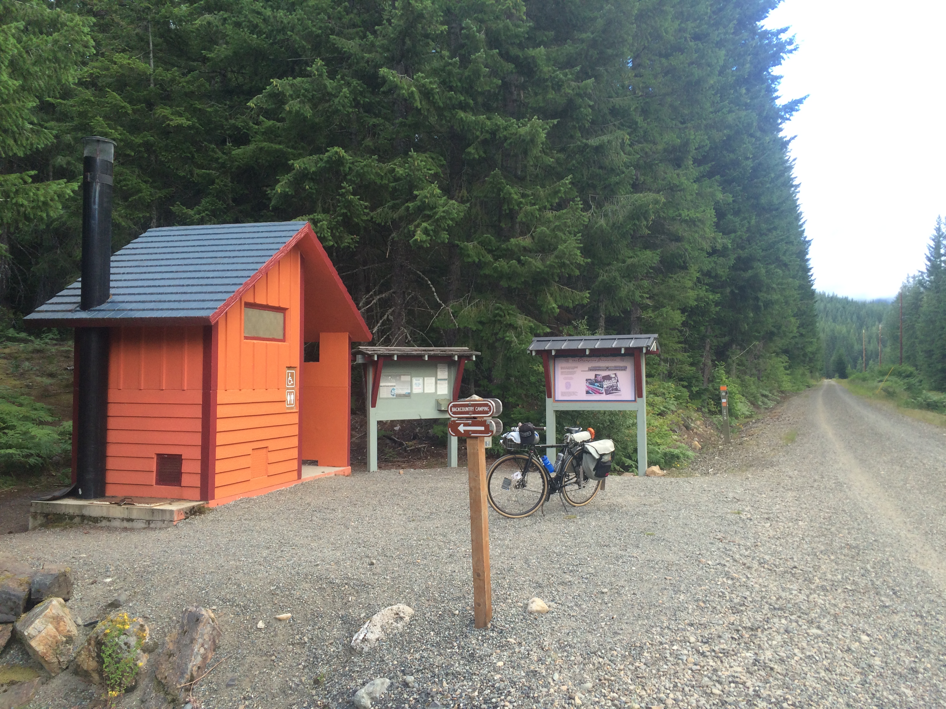
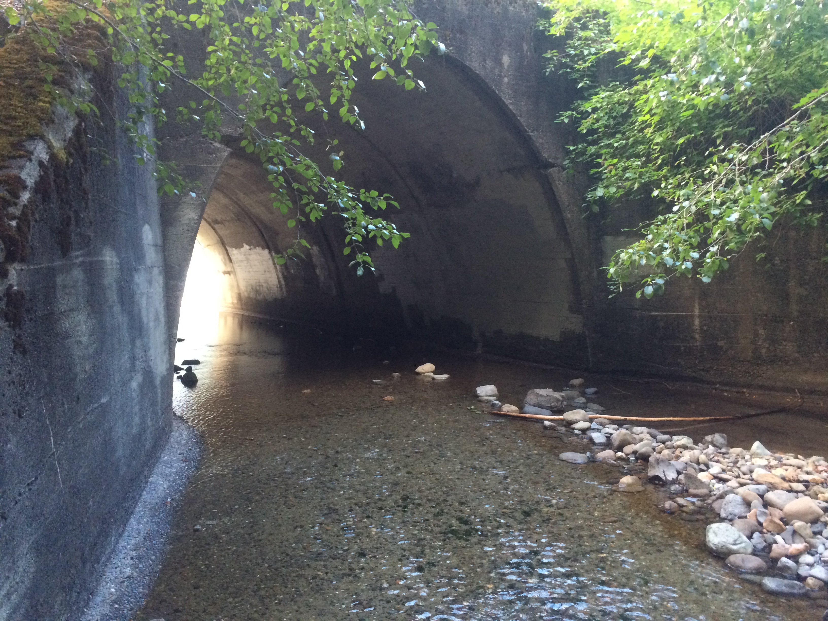
so I knew ahead of time I wanted to ride to Cold Creek Campgrounds just past the tunnel.
And the night before my trip was the Dead Baby Downhill so I was able to ask a few friends for route advice in person…because discussing routes while watching adults on tiny track bikes in a mini velodrome adjacent to tallbike jousting is the best way to figure out a trip 10 hours before the fact.
Here are my DO-NOT-TRY-THIS routes for my own future reference:
- To Iron Horse State Park: 78.8 miles, 7:51:29 moving time (10:04:31 elapsed time), 3,896 feet elevation gain
- Home from Iron Horse State Park: 78.4 miles, 6:01:07 moving time (7:10:44 elapsed time), 1,332 feet gain
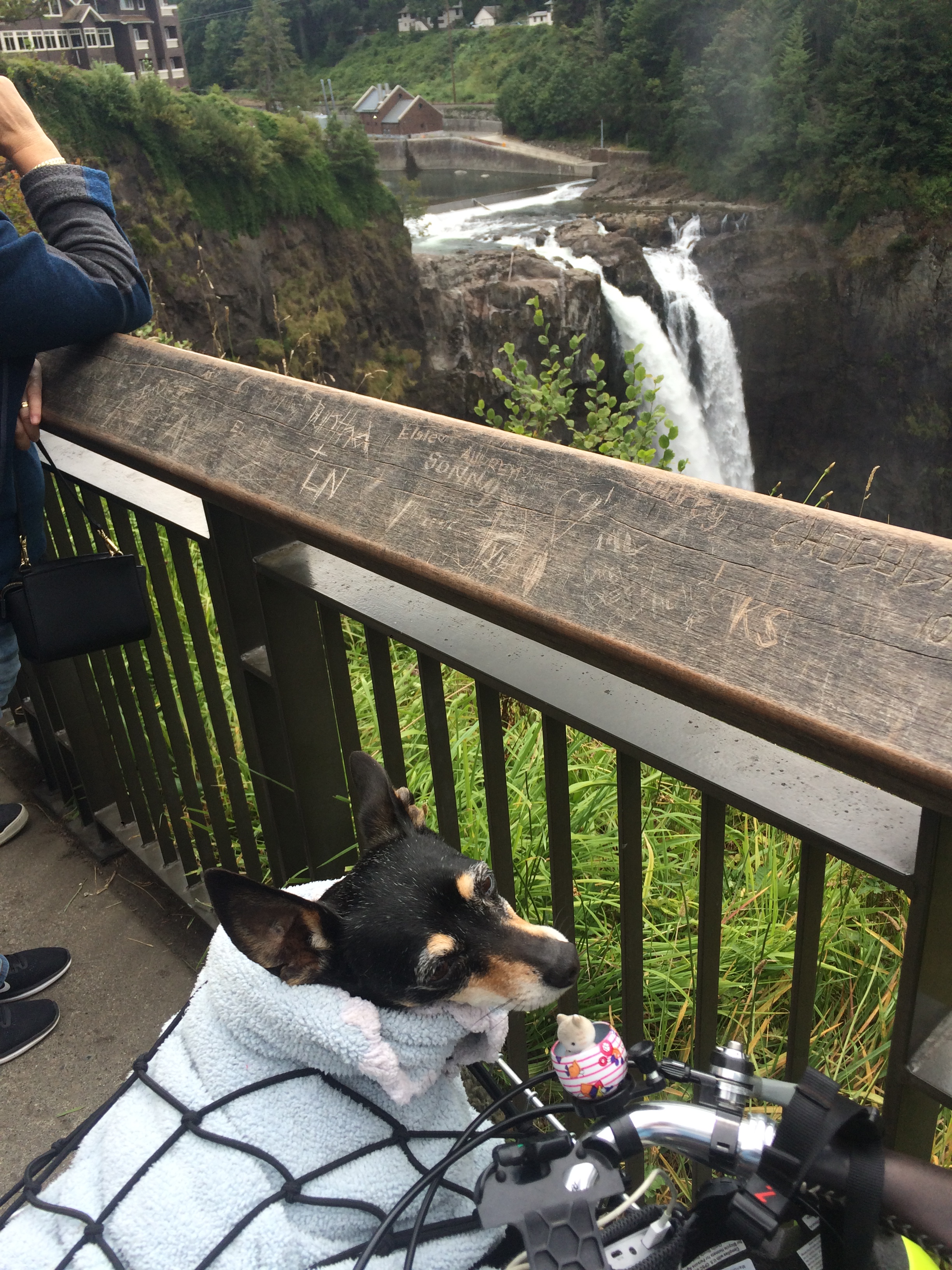
Since I live up in Wallingford, it sounded nice to go over the top of Lake Washington rather than head south for the I-90 trail. Not to mention much more flat. And the beginning was great: Burke-Gilman Trail to Sammamish River Trail to Marymoor Connector Trail. But then roadkill-strewn Redmond Fall City Road / highway 202 was not very nice. Granted, it was better on Sunday than Monday–there were many more big trucks on the weekday trip home. One little bonus: this route took me to the top of Snoqualmie Falls so that was pretty cool! I’ve been there once before, years ago, in a car.
After that it was pretty nice and quiet, but following the Google Maps app on my phone took me away from the all-trail route I should have taken and I had a lot more climbing that I should have.
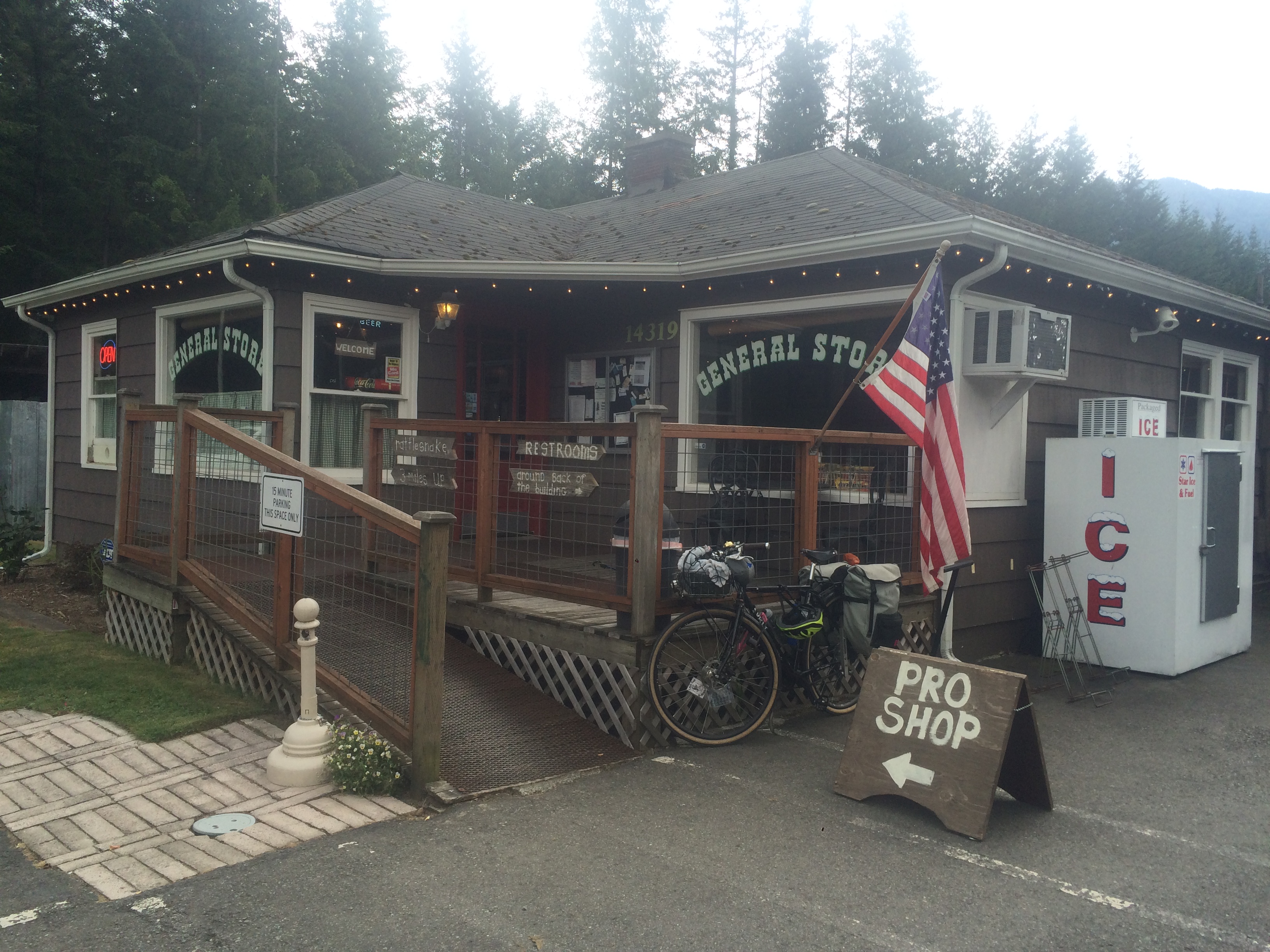
And that meant I didn’t find the grocery store in North Bend mentioned in the Seattle Bike Blog post and ended up at a small golf course market.
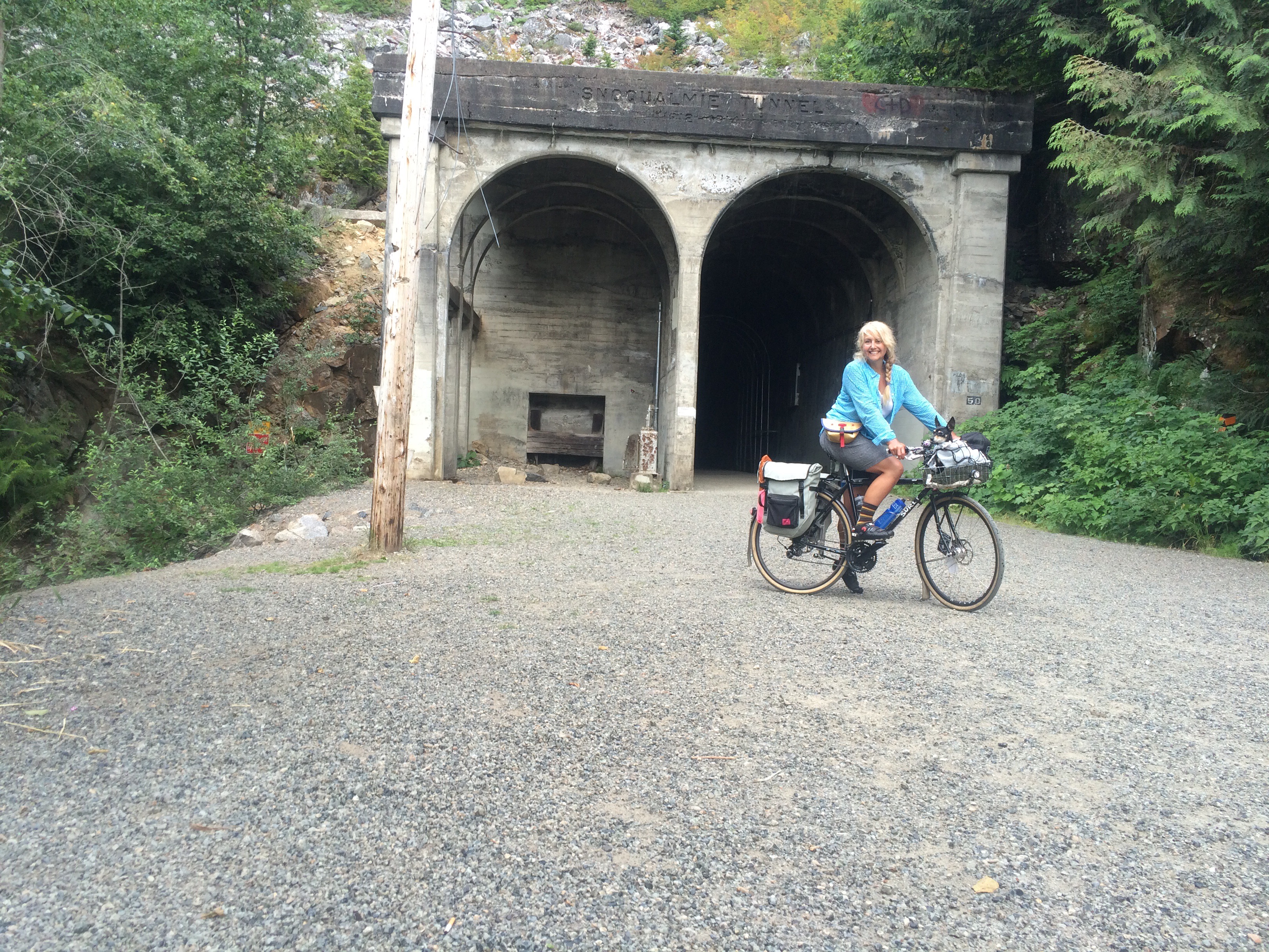
But soon enough I was at Rattlesnake Lake and on the Iron Horse Trail!
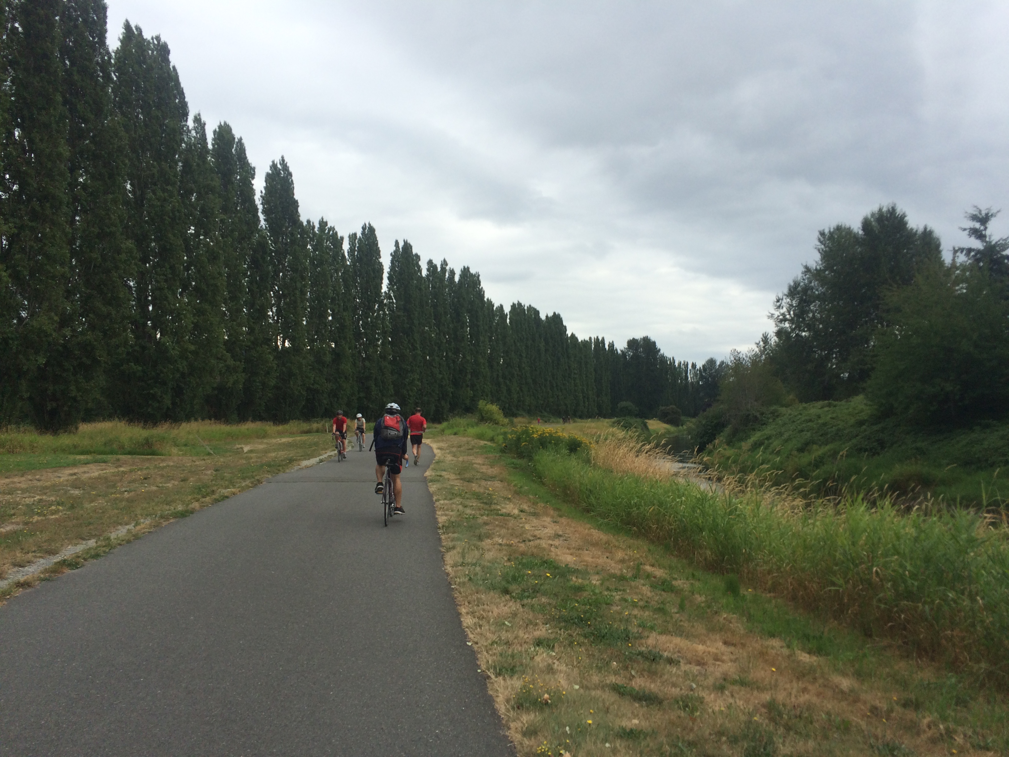
The 2% railroad grade gravel is awesome. I knew from our first family biking trip there that other people were surprised by how slowly they moved–about half the speed they had expected to tour at. My normal alone biking speed is slowish so I had a great time. Not having to worry about tired and hungry kids or keeping up with faster friends makes for a relaxing trip. I’ve done a couple other solo trips, to Illahee in April and to Fay Bainbridge last summer. But those were a lot smaller than this. Side note, Bicycling Times posted a nice feature, ALONE, a week after this trip.
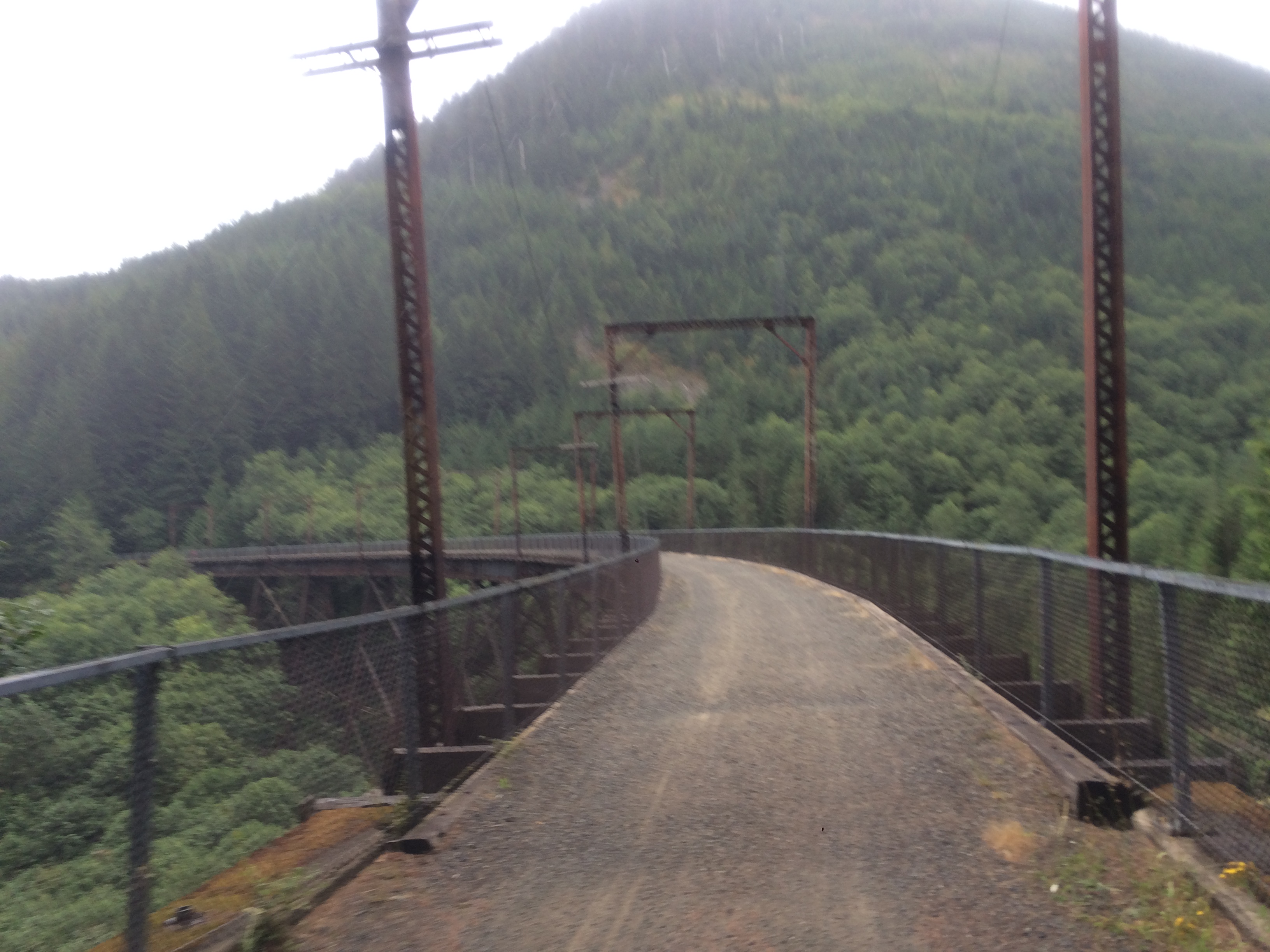
My Surly Straggler has Compass Barlow Pass tires–700c x 38mm kept at fairly low tire pressure: 30 psi when not loaded for camping, and they were probably at 40 psi for this trip, but looking back I realize I didn’t bother checking ’em, oops. I didn’t see a ton of other people on the trail, but it’s OK with any sort of bike. I saw quite a few people on mountain bikes, some on cyclocross bikes, but having been on it previously on my city bike and my cargo bike (I guess the Big Dummy could best be compared to a rigid mountain bike for these purposes), don’t let not owing the “right” type of bike stop you from checking it out. I didn’t find any patches of loose gravel on this big trip, but there are doubtless periods when new gravel has been placed in sparse spots making it not as easy to bike through those particular small areas while it’s fresh.
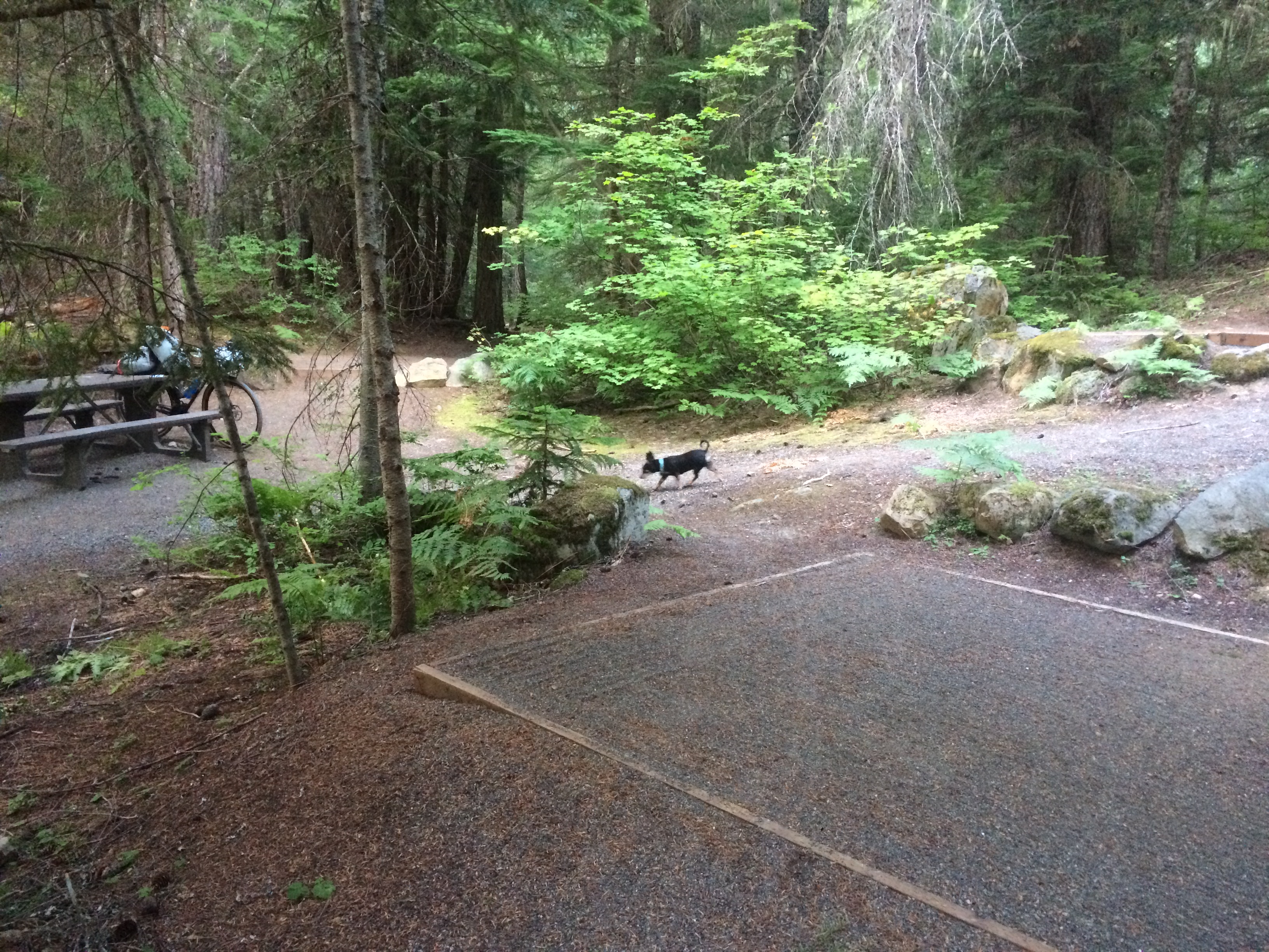
Cold Creek Campground was really pretty. It was too cold for swimming and I forgot my mosquito repellent so I didn’t do any exploring, but I will in the future. There’s no running water so being alongside a creek in which to use my Sawyer MINI Water Filtration System was good.
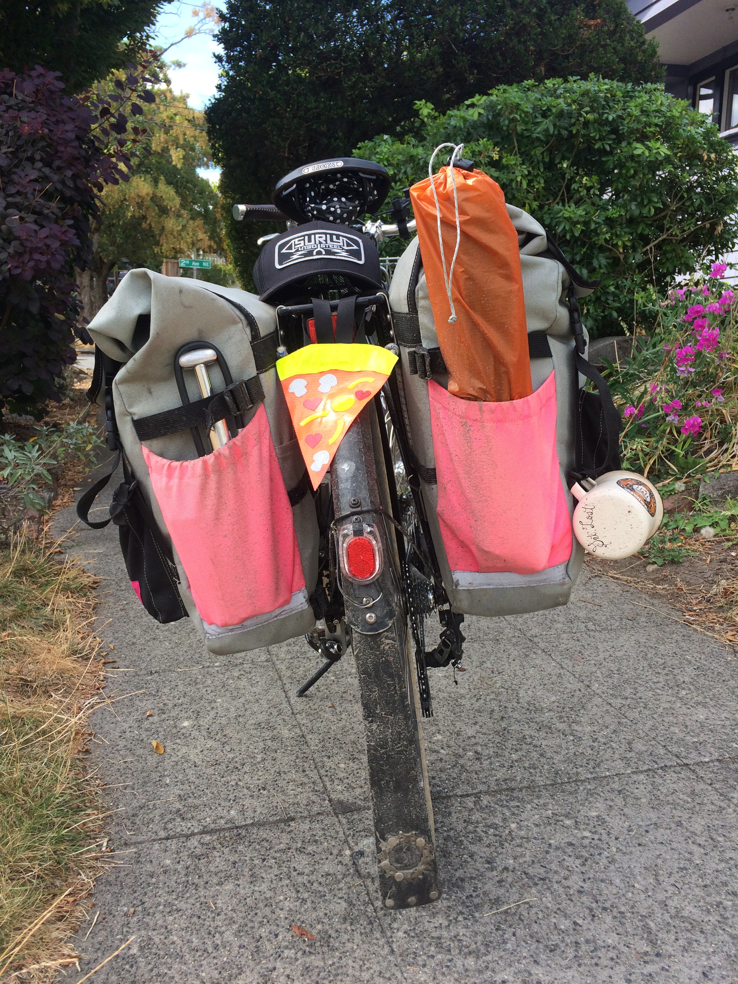
I discovered one trick on this trip and utilized it on my way home: hang your mug on the outside of your bike (or at least don’t bury it at the bottom of a pannier) to help fill water bottles at drinking fountains that don’t easily accommodate bottles. This would have been helpful on day one at Wilmot Gateway Park in Woodinville, a popular stopping spot judging by the number of people on bikes there and did come in useful at the Three Forks Off-Leash Dog Park on day two. Also, it’s a good way to clue in onlookers that you’re bike camping and not just out for a little ride. Displaying your tent poles helps with that, too. For real, though, packing your tent poles separately is a great way to better fit the rest of the tent in a pannier.
Pixie did great for the long trip. She’s quite the homebody and would ideally have us all stay home with her all the time, but her second favorite thing is to chill in the bike basket. She’s seven so she doesn’t require a ton of exercise, but I took several breaks for her to stretch her legs at parks and she ran alongside me for part of the trail on day one and that was awesome. She also isn’t much on eating away from home, but I was able to entice her by putting treats (lamb lung!) on top of her food. However, she ate a lot more than I thought she would and we almost went through all her food so I’ll have to pack a lot extra next time. This has happened on our Fay Bainbridge trips, too, so I thought I had packed extra, but apparently not extra enough!
Heading home I decided I’d reverse my route over since it felt mostly uphill and the thought of mostly downhill seemed nice. But as I mentioned before, the 202 was even worse on Monday. So I won’t make that mistake again. But I will most definitely do this trip again. And perhaps next summer with the kids on their own bikes, letting the bus take us part of the way there!
