Funny story, while busy biking around Mount Rainier I missed a chance to respond to an email about being outdoorsy and car-free. Fortunately I still got mentioned in the Seattle Weekly article Do Urbanists Have a Wilderness Problem?: Density foes argue the whole point of being in Seattle is the ability to get out of it…with a car.
There are the bike enthusiasts, such as Seattle Bike Blog creator and anti-car urbanist Tom Fucoloro or family bike expert Madi Carlson, both Seattle residents who frequently journey to the forested outlands by bike alone (and in Carlson’s case, with two kids in tow).
The article posted sandwiched between two bike camping trips on the John Wayne Pioneer Trail. Neither trip was with the kids, but I did have Pixie along both times and that’s almost the same…though 100 pounds lighter.
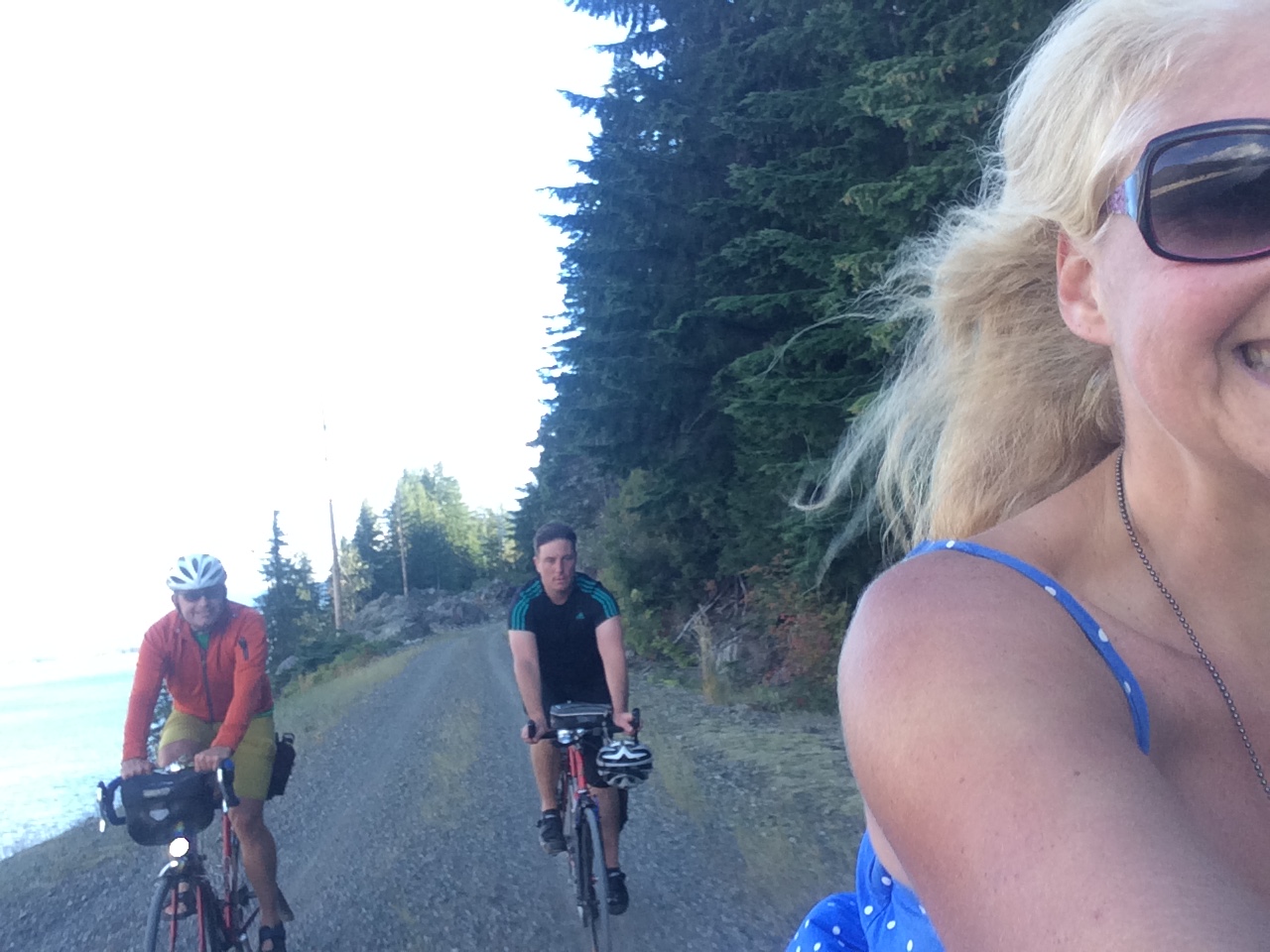
With the one stint of bike camping in Iron Horse State Park under my belt, which was extremely fun despite taking a route out of Seattle that was less than ideal, I was ready to try again. This time my friend Velotron came along and we made it a three-day/two-night trip to make it even bigger and better than last time.

Pictures: Iron Horse Trail with Velotron – Labor Day Weekend, 2016 (268 photos)
Routes:
- Day 1: 66.4 mi, 6:58:35 moving time, 9:36:55 elapsed time, 9.5 mph avg, 37.8 mph max,
4,426 ft elevation gain - Day 2: 54.8 mi, 4:40:12 moving time, 7:17:06 elapsed time, 11.7 mph avg, 23.0 mph max,
1,853 ft elevation gain - Day 3: 63.0 mi, 5:28:50 moving time, 8:04:46 elapsed time, 11.5 mph avg, 32.9 mph max, 2,487 ft elevation gain
I still didn’t take the perfect route between Seattle and North Bend, but it was much better than last time and I’m sure with a bit of preparation I could figure out the perfect route for my “Third time’s the charm” attempt.
I had hoped to completely avoid the road-kill-strewn 202, but my chosen route followed it for a short bit. I chose a route by searching Ride with GPS for keywords “seattle iron horse trail” and ended up choosing this one: Seattle to Keechelus Lake. There were several options, some even without any 202, but many were there-and-back routes and I thought that would be more confusing to follow. I don’t find Ride with GPS the easiest way to navigate (the Google Maps app with upcoming turn warnings is my favorite), but it’s still a great resource.
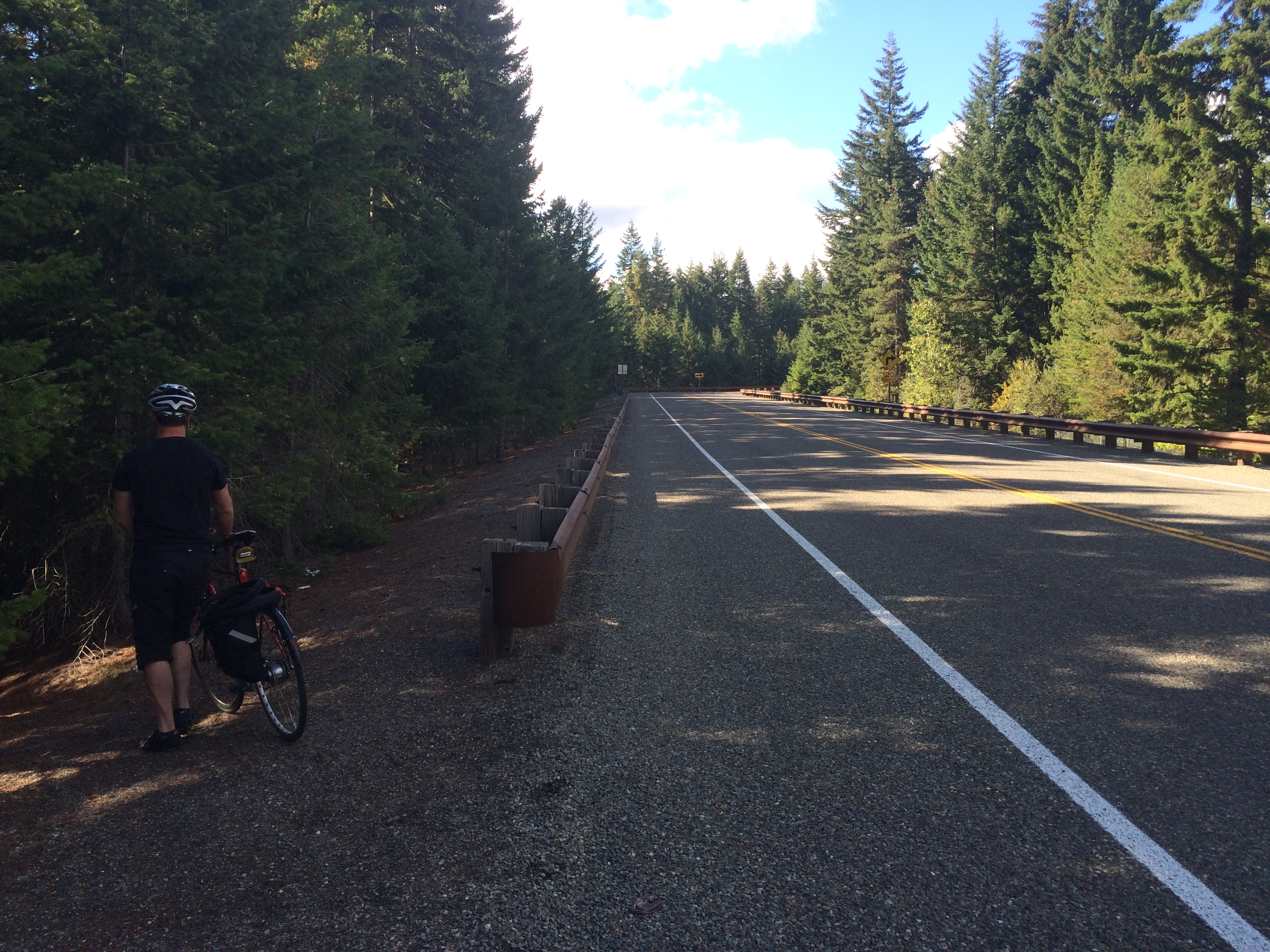
Just to keep things interesting, we ignored the map 31 miles in, shortly after the Preston-Snoqualmie Trail spit us out onto Preston Fall City Road. We’d spent a lot of the trip on trails — I-90 Trail, Pickering Multi-use Trail, Issaquah-Preston Trail, and Issaquah-High Point Trail — so when Preston Fall City Road headed uphill and we noticed the Preston-Snoqualmie Trail picking back up on our right, we thought it’d be fun to get adventurous and hop on the trail. And if coming face-to-face with a series of steep switchbacks to walk is adventurous, then we were in luck!
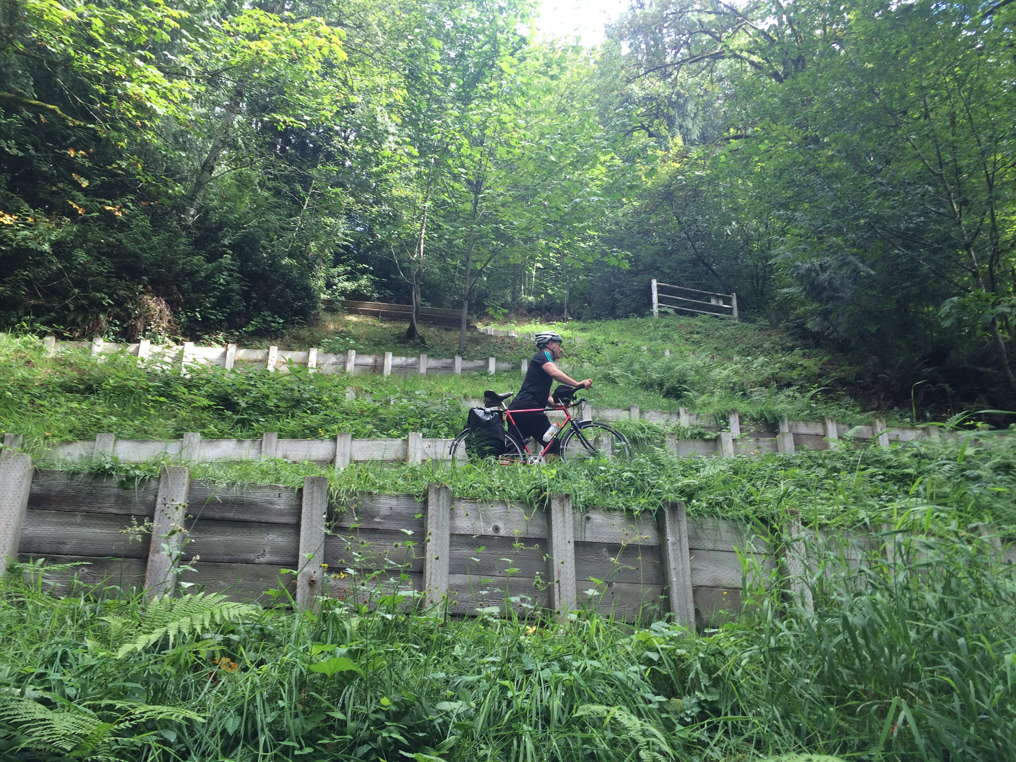
Once we got up the switchbacks the trail was great! After a while we saw a sign that warned the trail ended ahead. Velotron worried that meant we wouldn’t be able to get through, but I was optimistic that it meant we’d have to get back on a road. Before we got all the way to that dead end (which has a great vista point and is worth a trip if you’re not on your way somewhere–see Biking Bis: The surprise on the Preston-Snoqualmie bike trail) we looked more closely at the map and realized the dead end was really a dead end and we turned back…but not all the way back, just to the previous cross street, Lake Alice Road. So we skipped some of busy Preston Fall City Road and I got that great switchback photo. And we met some nice bike tourers on the switchbacks, too, whom we saw the following day on the Iron Horse Trail. I have a feeling they intentionally took the trail and knew to turn off at Lake Alice Road.
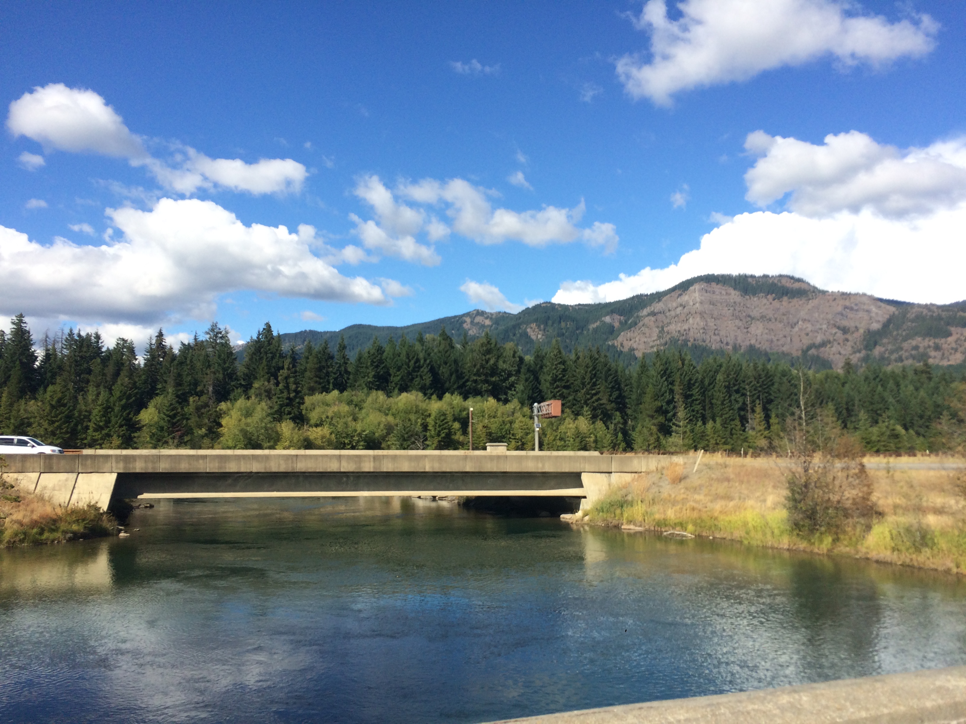
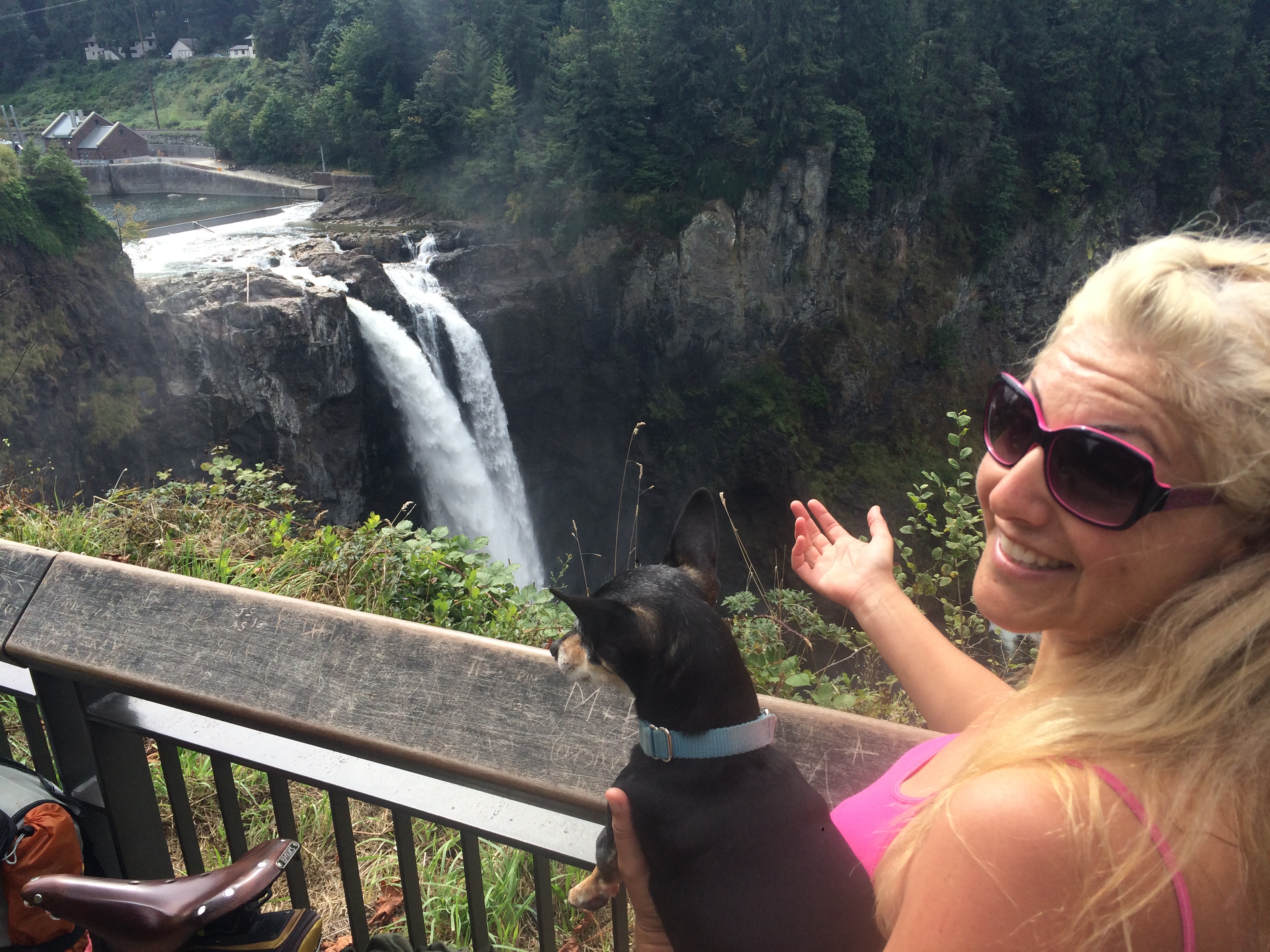
Lake Alice Road connected us up with the 202–but for much less of the 202 than I experienced on my first trip out. Unfortunately, I’d stopped paying attention to my pinned Ride with GPS route so I didn’t realize we could have turned off the 202 after a mile and accessed the Snoqualmie Valley Trail (!!) but we turned off even earlier to take Fish Hatchery Road. Remember, this is the road I avoided last time based on a friend’s advice. Fortunately for us, we met a guy on a road bike who guided us away from a wrong turn suggested by my Google Maps app. He also told us about Strava Routes for future route help. It was nice to avoid part of the 202 and still go by Snoqualmie Falls.
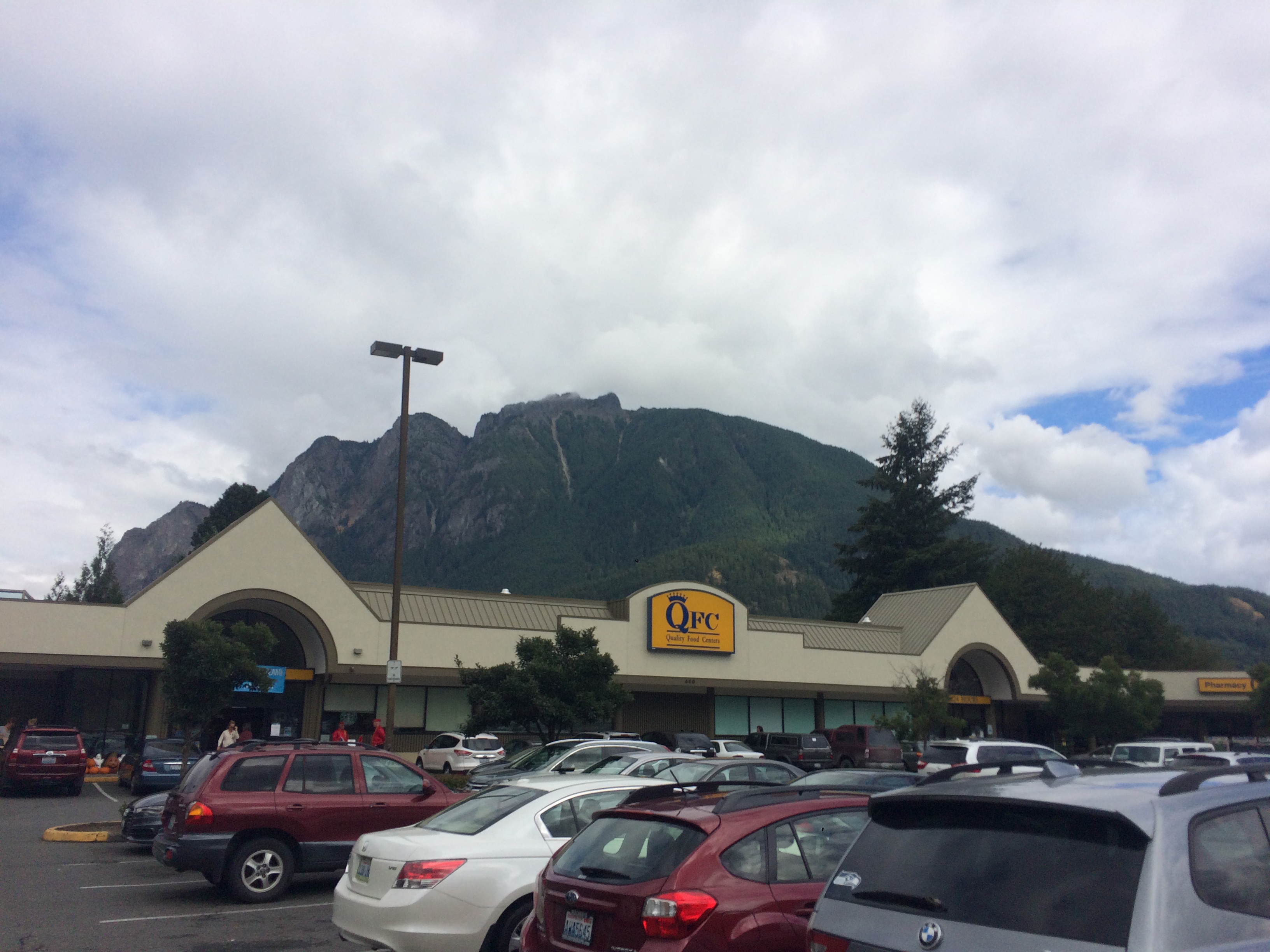
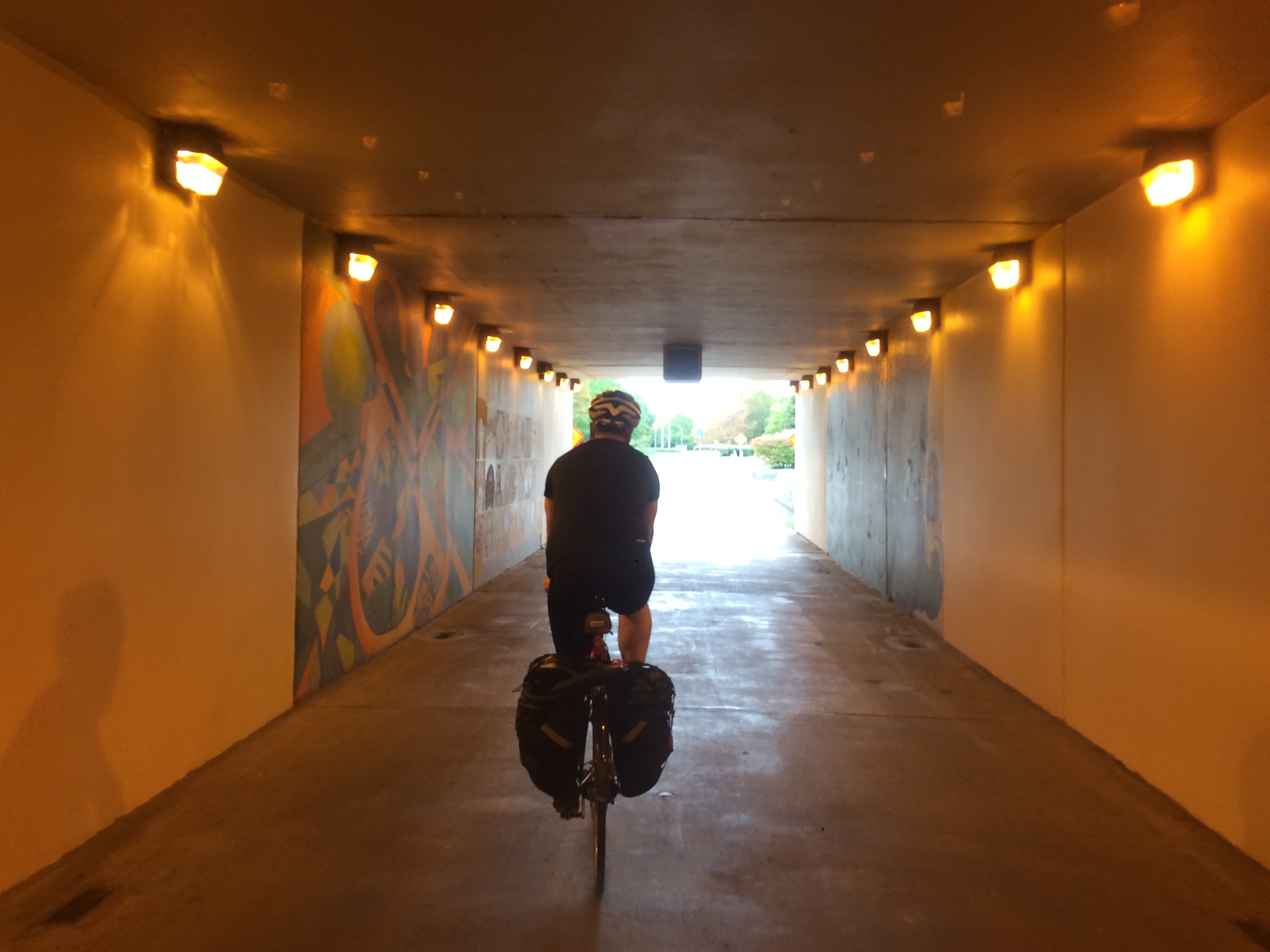
The rest of the way to North Bend was the same as I took before, but we stopped in town for groceries, at what must be the most beautiful QFC in the world, tucked in the shadow of Mount Si.
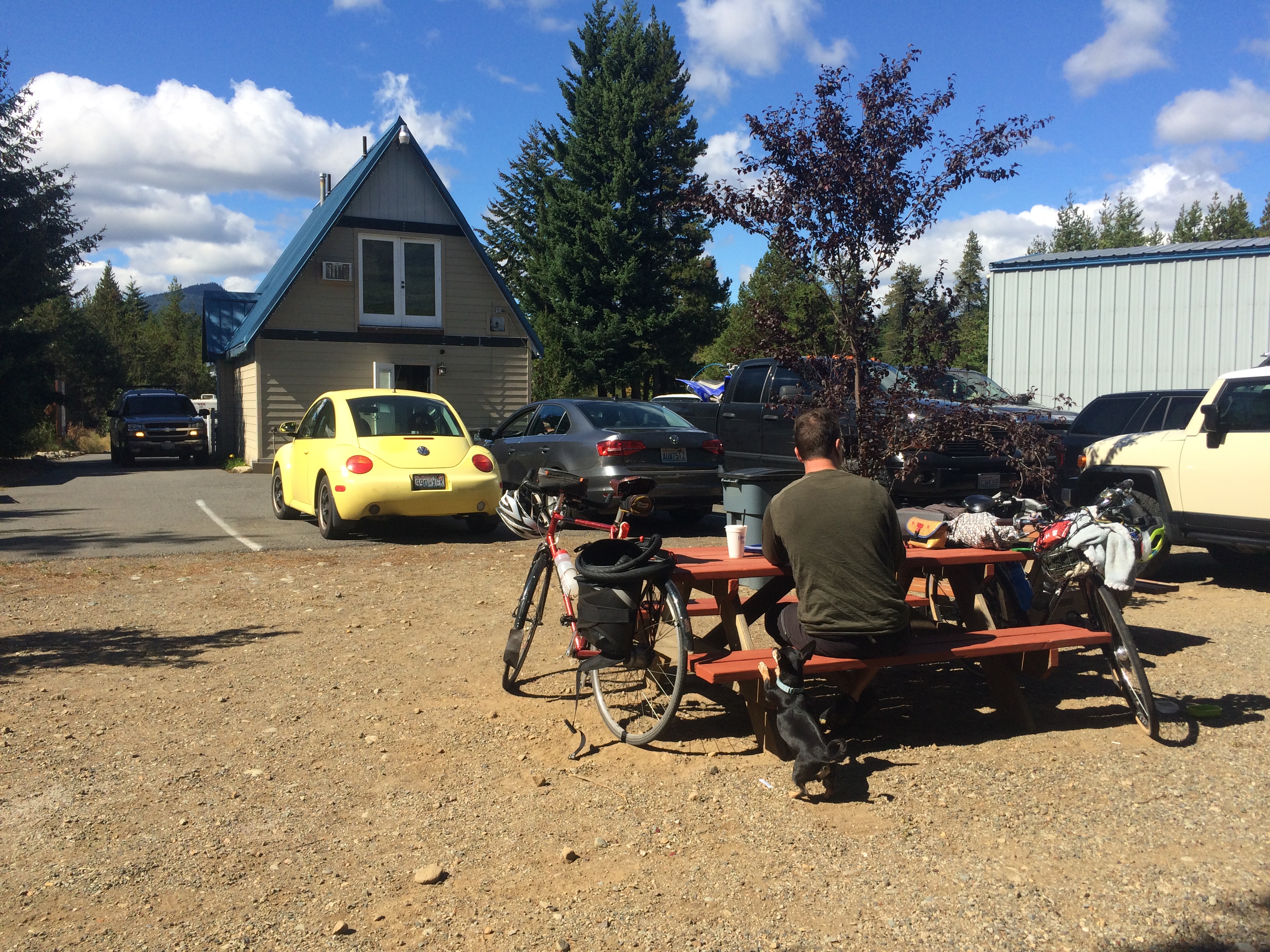
We also hit a bike shop for Velotron to pick up a spare rear tire in case his old one didn’t survive the gravel trail (but it did!) and Pixie and I met a biking family with an adorable toddler who were planning to move to the area.
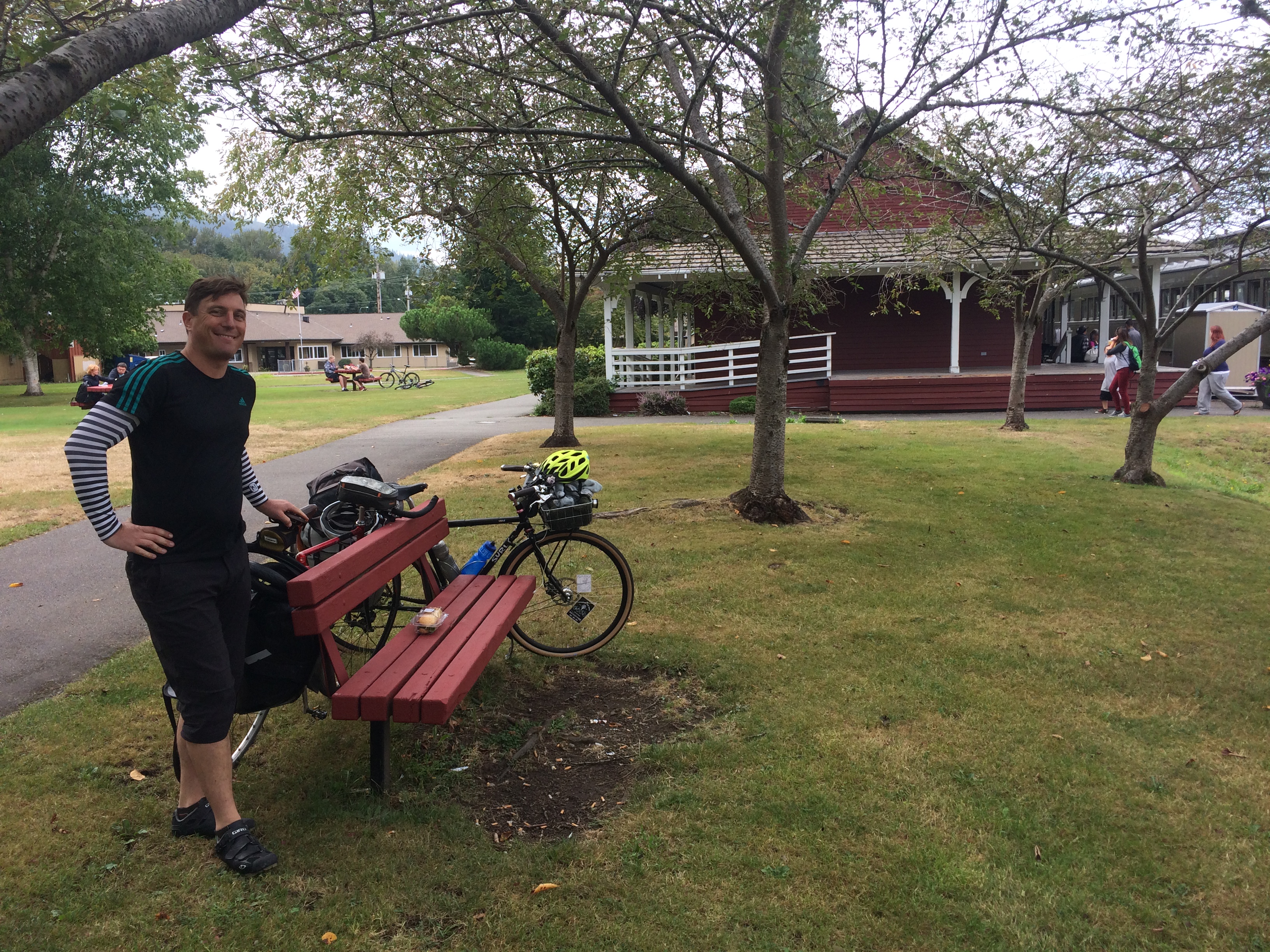
We ate our grocery-store-bought lunch at the Northwest Railway Museum somewhere I’ve only previously been by car so of course it was SO EXCITING TO BE THERE BY BIKE!
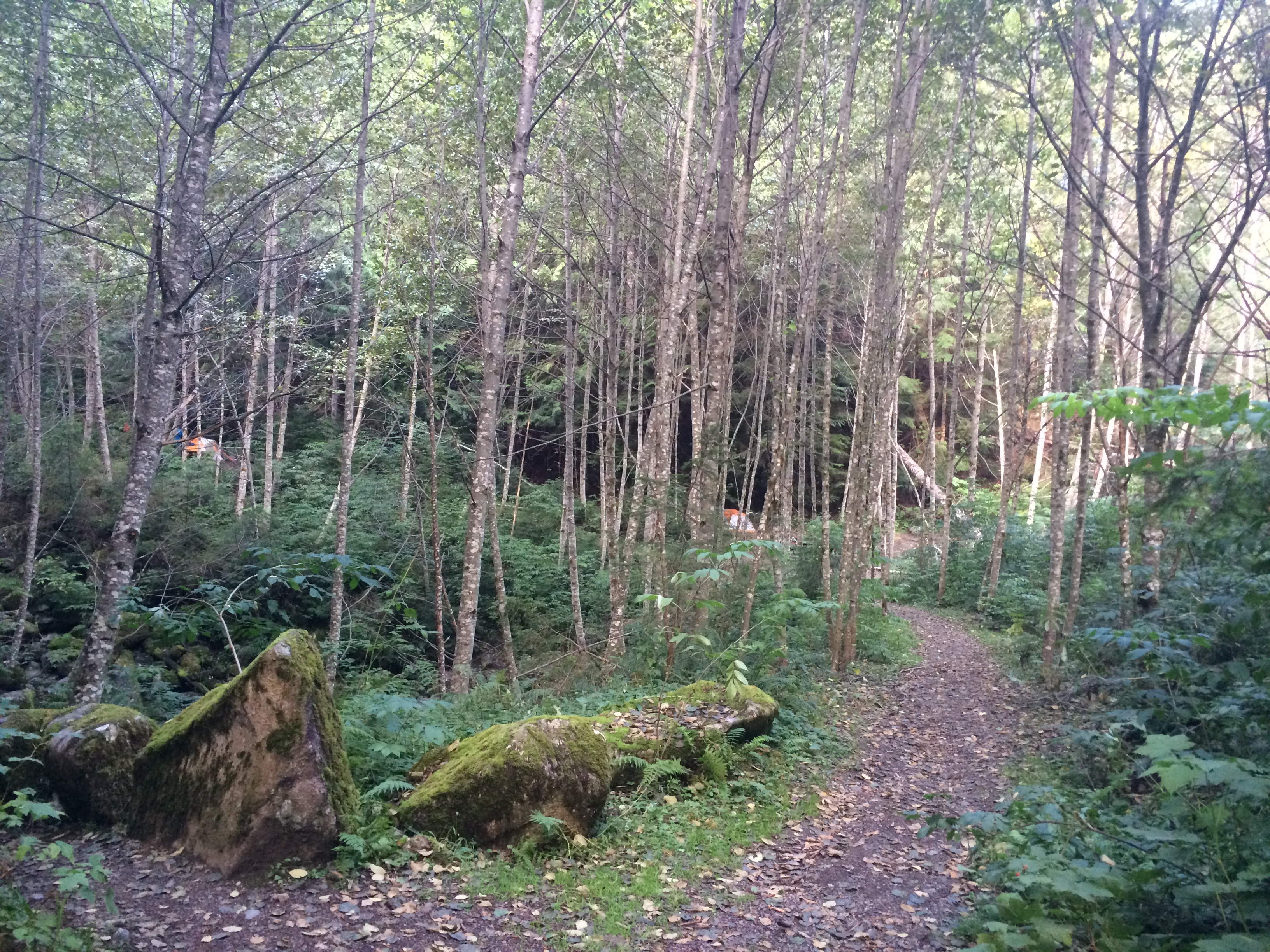
Soon we were back on the Snoqualmie Valley Trail, which was so much better than the busy road I took last time, but starting the slight uphill gravel this early was a bit tiring. It was incredibly fun heading back down two days later, though!
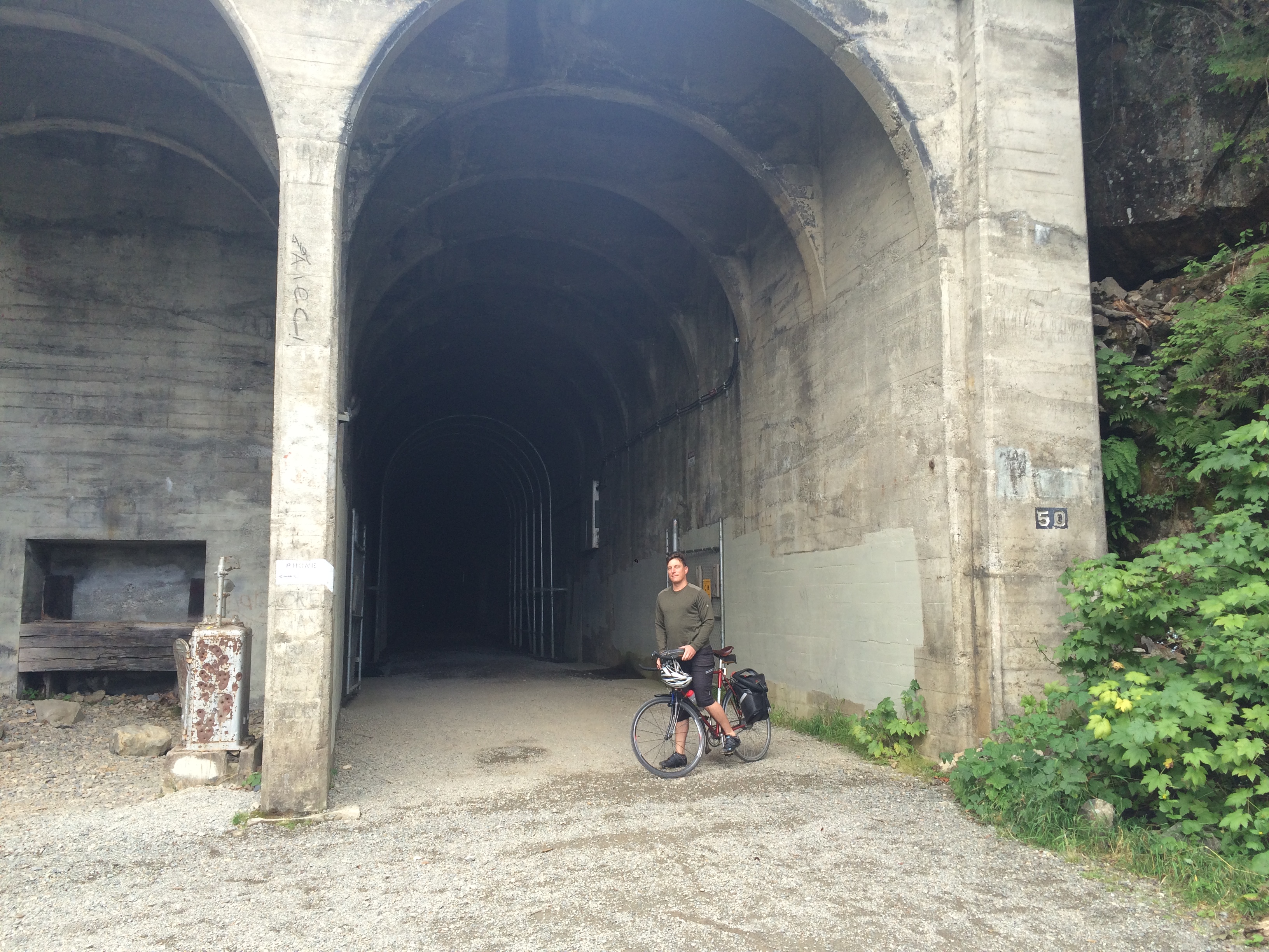
Our plan was to bike to Roaring Creek Campground at milepost 2109, the eastern-most campground in Iron Horse State Park, but it was getting late and would be dark by then and we were tired so we decided to stop at Carter Creek Campground at milepost 2123 and save the Snoqualmie Tunnel for the morning.
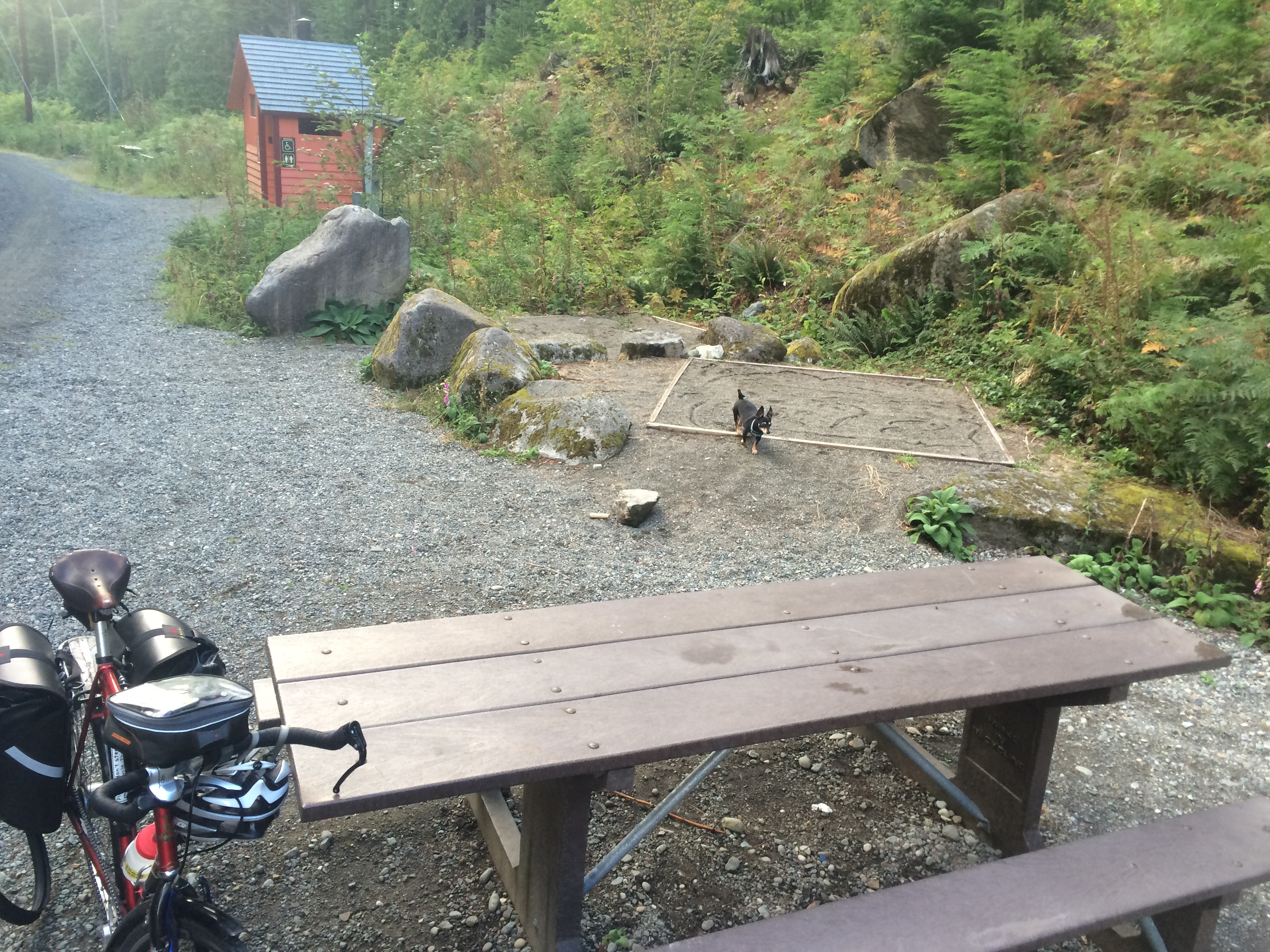
Carter Creek Campground was great! There were several other bike campers there, but it’s divided into three sections so we had our own picnic table and three tent squares. I think Carter Creek and Cold Creek (milepost 2113, where I camped last time) are my two favorite campgrounds in Iron Horse State Park. The creeks are right there for easy water collection and they’re pretty. Alice Creek Campground (milepost 2127, the closest to farthest west) is very exposed and the creek is on the other side of the trail. We checked out Roaring Creek Campground the next day and didn’t explore enough to find the creek, but it wasn’t right by the campsites. It was pretty, though.
Alice Creek Campground
Carter Creek Campground
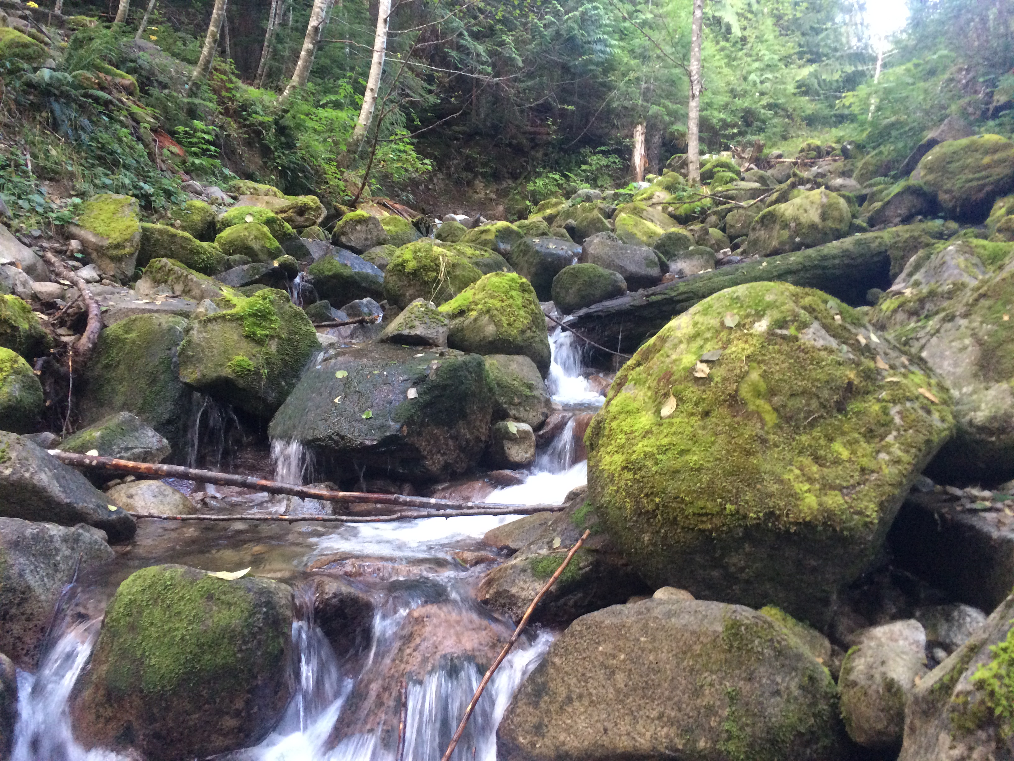
Carter Creek Campground
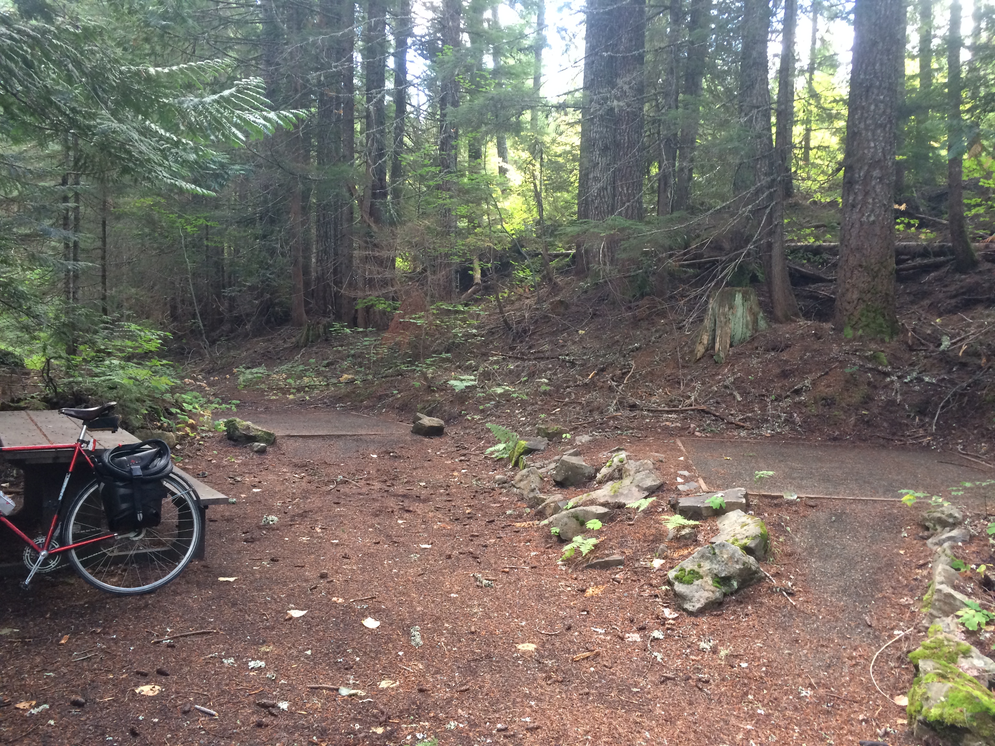
Roaring Creek Campground
Day two was supposed to be a day trip without gear from Roaring Creek Campground to Cle Elem for award-winning BBQ at Smokey’s Bar-B-Que, but after much consideration (Should we pack up and then ditch the camping gear at Roaring Creek before going to Cle Elum? Should we leave the tent at Carter Creek and go to Cle Elum and back? Should we pack up and carry everything to Cle Elum and decide where to camp in the evening? Should we ditch the gear at Roaring Creek and just go to Easton? Should we leave the tent at Carter Creek and just go to Easton?) We eventually opted for what we figured was the most reasonable choice and left our tent at Carter Creek so we’d have a smaller day three and see how far we could make it to lunch–Cle Elum if we felt ambitious or just Easton if we wanted to take it easy.
We were right to hit the tunnel Sunday morning rather than Saturday evening. It was packed! We saw at least 70 people in there (and three other dogs), more people were on bikes than walking, but there were plenty of both. This was Velotron’s first time in the tunnel and I think he may have been a bit disappointed that we couldn’t find a spot dark enough to turn off our lights and appreciate the total dark. But I thought it was fun and festive.
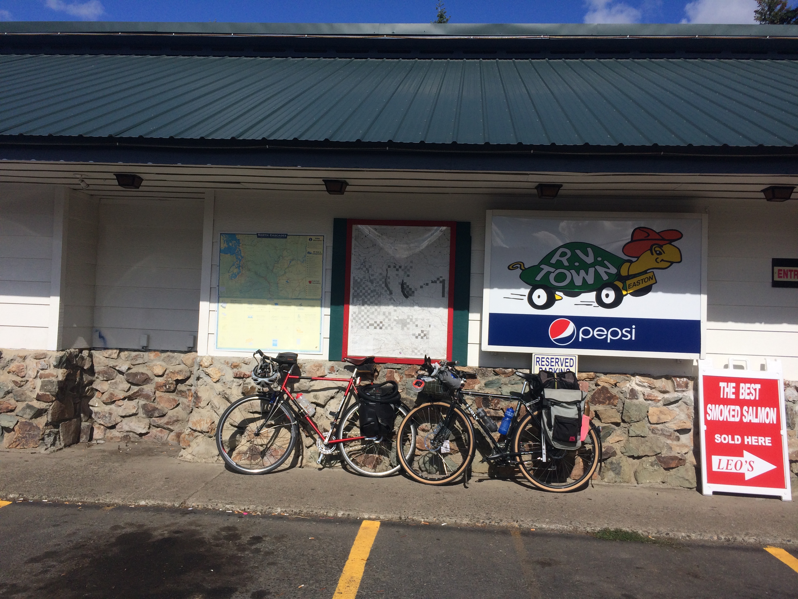
We ended up stopping in Easton for a 55-mile day rather than an 80-mile day. Mountain High Hamburgers was perfect. Over 40 flavors of milkshakes and each hamburger named for a pacific northwest mountain. The bathroom was full of framed photos of Mount St Helens erupting and several outdoor picnic tables meant it was easy to eat with Pixie.
Had we made it to Cle Elum we would have bought dinner supplies at a big grocery store, but in Easton we had only the gas station RV Lounge. That worked well enough, plus we got some of Leo’s THE BEST SMOKED SALMON for breakfast.
As we headed along Lake Easton Road between the trail and Mountain High Hamburgers, we noticed what we thought was the trail through the trees. So on the way back we found a little path through the trees and found a short cut to…not the Iron Horse Trail. But it was a great little low-traffic road Google Maps called Old US Hwy 10/Iron Horse Trail.
I got a little worried when I saw a DEAD END sign considering day one’s Preston-Snoqualmie bike trail whoopsie, but this was the good kind of DEAD END that featured a gate closing the road to cars, but not bikes.
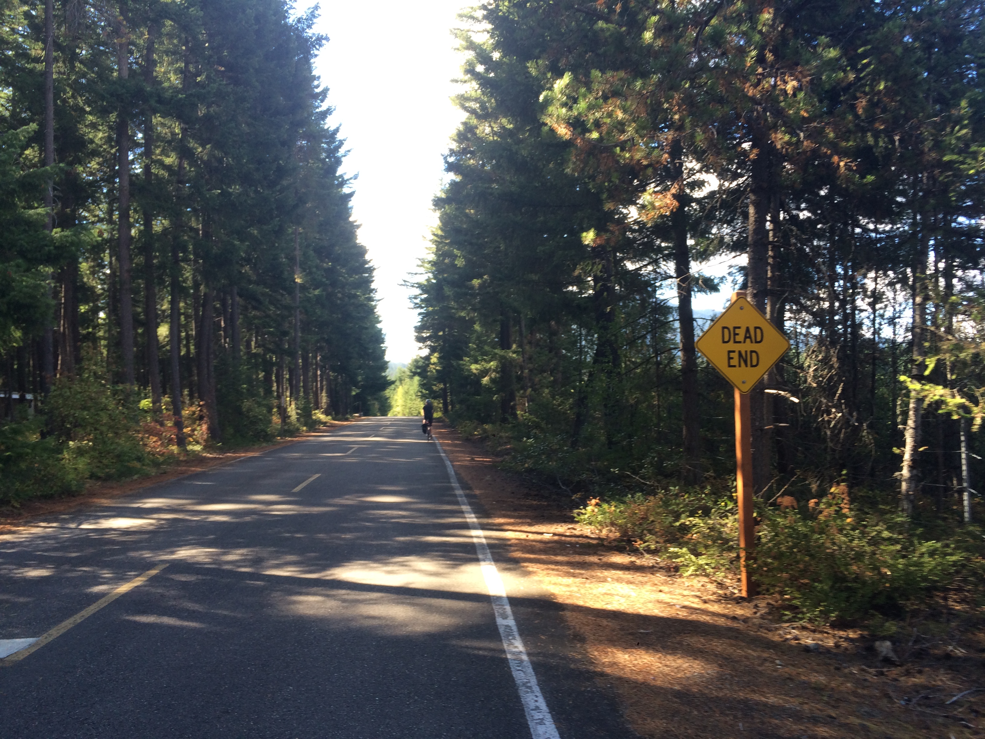
And then we saw signs for the John Wayne Pioneer Trail ahead and transferred to a great trail (also called Iron Horse Trail by Google Maps) that connected us back up to our trail. I really liked this little detour because it meant we biked along the south side of Lake Easton on the way to lunch and along the north and west sides of the lake on the way back. And we saw a lot of families with bikes past the DEAD END gate, presumably parked at Easton Lake Beach.
And then Brad (Brad of my Mount Rainier trip) found us on our way back! Oh, I should mention that I know Velotron because he also has a cargo bike (an Xtracycle EdgeRunner named the 7XL). I checked with him the night before our trip to make sure he really wanted to bring small bikes rather than longtails. Brad was also on a small bike instead of his Surly Big Dummy. He’d driven with a friend to North Bend and biked up through the tunnel as a day trip.
Upon arriving back at our campsite we met family bikers! They had parked at Hyak (just east of the tunnel) with their bikes in their van and biked the eight miles downhill to Carter Creek. The mom was on a regular bike, the dad was on a Bullitt longjohn carrying the littler kid and the gear, and the older kid was on a 14- or 16-inch Islabikes (same brand my kids have). They were hoping the biking kid could make it the whole way on her own wheels because they hadn’t saved room for her and her bike in the Bullitt box. We made it a bit past Carter Creek on our Iron Horse Trail trip with Brad two years ago and I remember the uphill ride taking FOREVER.
The ride back was fun! Slight uphill gravel is OK, but slight downhill gravel is AWESOME. We mostly followed our Saturday route in reverse. I belatedly noted the turn off for getting to the Snoqualmie Valley Trail and and avoiding the 202, but it was steep so we stuck to the 202, knowing it’d be better on a holiday Monday than on a real weekday. And this time we stopped at the Snoqualmie Falls.
We stopped for lunch in Issaquah and made it home before it started raining. Hooray! I think that’s it for camping for me for the year, but the kids just expressed interest in bike camping again so we might try to squeeze in one more trip on a nice weekend with no other plans.

Nice report! And interesting link to the Seattle Weekly story about “needing cars” to get out of the city. It’s pretty similar down here in Portland, and I’ve known a few of my “card-carrying” car-free friends get cars or think about it. Thankfully, it seems like we’re starting to get somewhere with bus service to popular wild recreational destinations. There is a bus that runs daily up to Timberline Lodge on Mt Hood and has a trailer for bikes. Supposedly a lot of downhill MTBers use it as a shuttle service. ;-) And they initiated a summer pilot project bus service to Multnomah Falls. They would be stupid to drop that!
THAT WAS SO FUN!
Phew, thanks for not minding my not having the route better sorted! Let’s go again as soon as everything freezes and then thaws back out!
I’m making plans for an Iron Horse trip this summer, and so I’m cruising through the bike blogs. Last year, while biking to North Bend, I made the exact same dead-end mistake on the Cedar River trail! Too funny–they should probably put up a sign that says “No, really, this does not get you to where you want to go.”
Ha! Nice to know I’m not alone. I hope to make it back this summer, too!
You’ve inspired me as I creep on all of your old posts! I’m planning to bus to North Bend then bike from there! I think bebe & I can manage that!