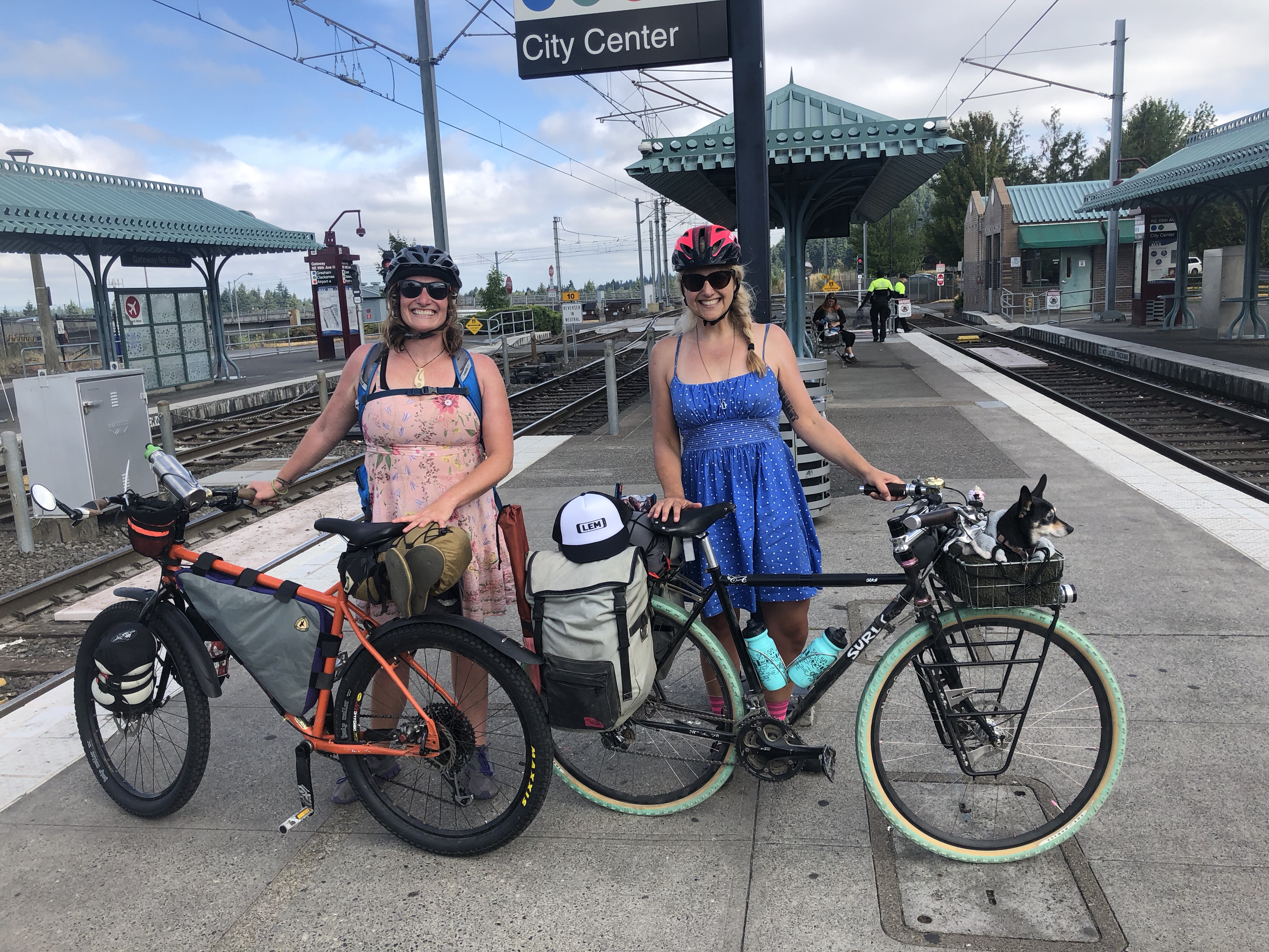
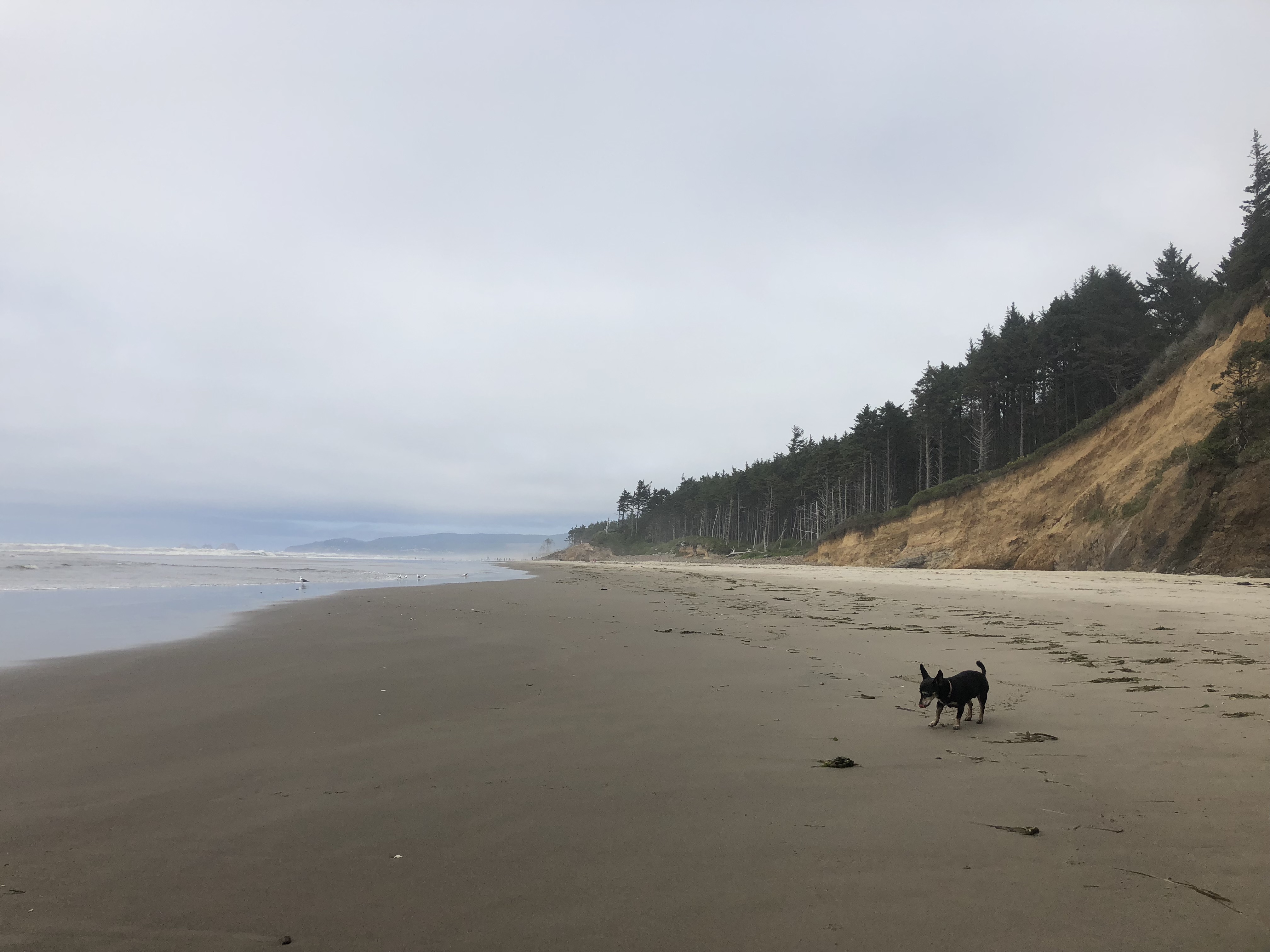
I’ve already recapped last summer’s trip to the coast with Elle of Tiny Helmets Big Bikes over on BikePortland.org: “When moms escape: Tackling the unpaved Trask River Road route to the coast” (heh, I didn’t choose the fun title), but I never got around to uploading all my photos so now that that’s done, I’m re-recapping it, though more briefly.
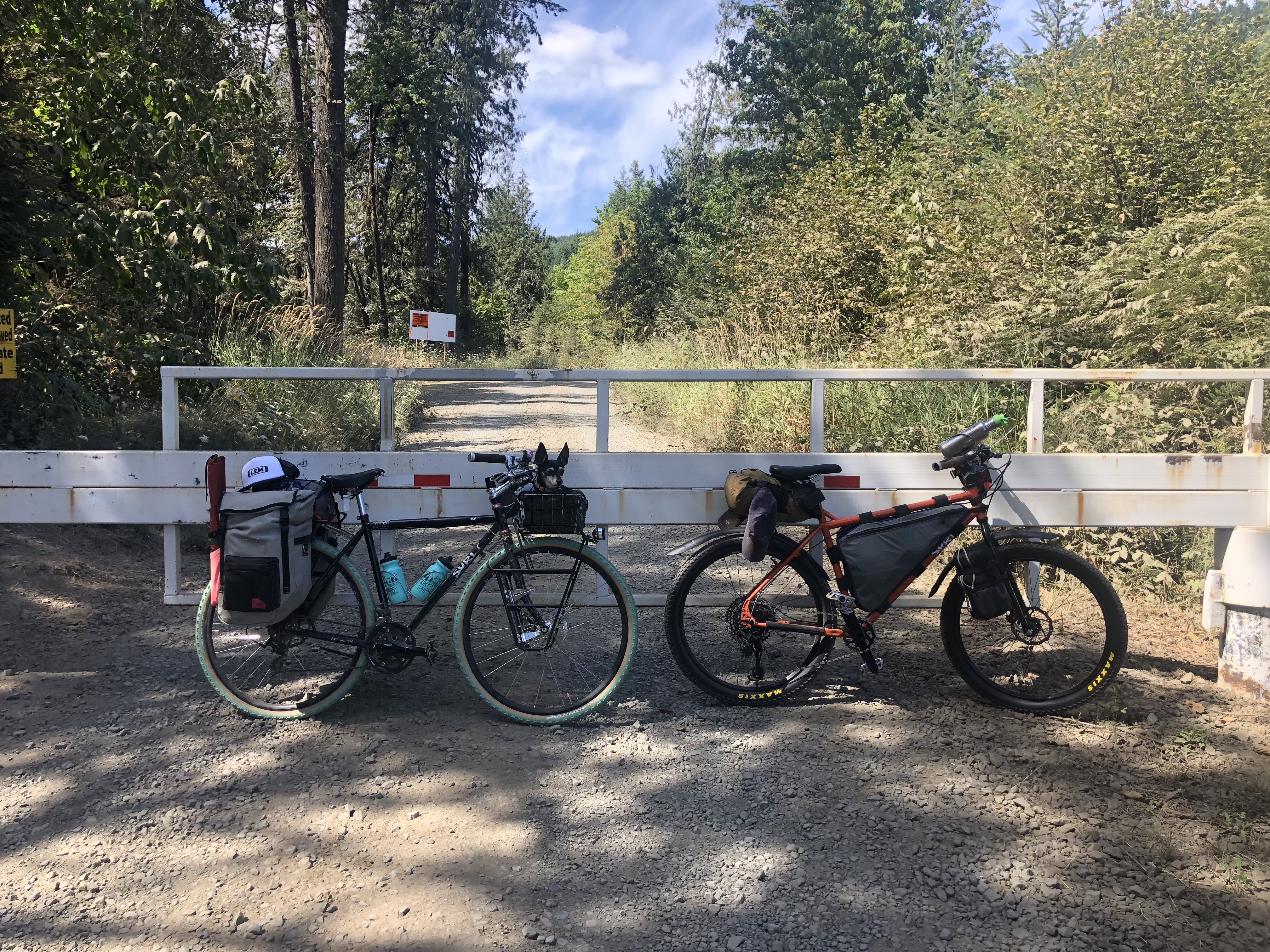
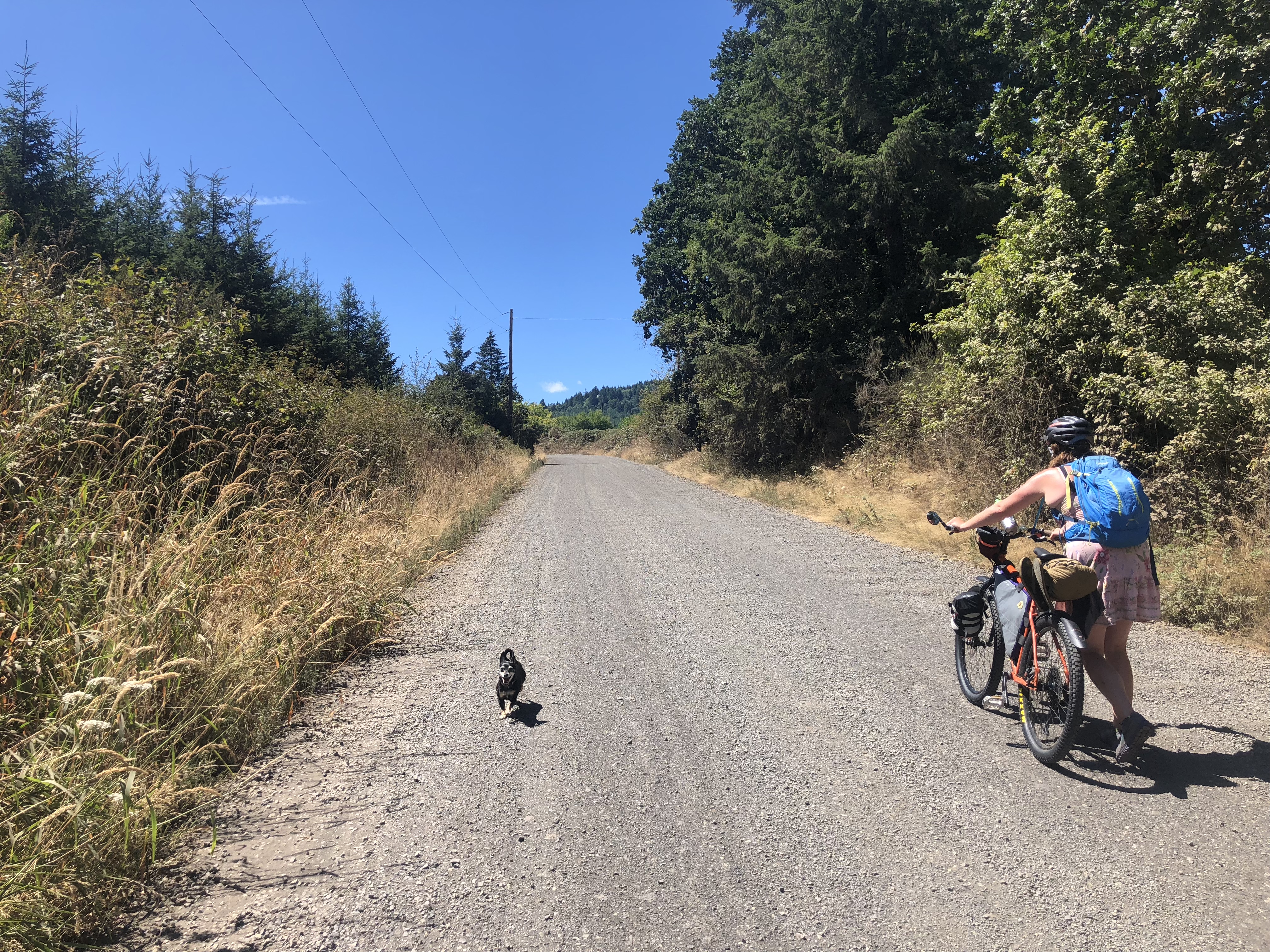
I was on my Surly Straggler with 43mm-wide tires and Elle was on her Surly Troll with 2.4-inch-wide tires.
Maps:
- Ride with GPS route 1: North Trask Route – Oregon Bikepacking Edition
- Ride with GPS route 2: Tillamook to Cape Lookout State Park
- Ride with GPS return route: Coast to Hillsboro via Highway 6
- Strava recording day 1 Hillsboro to Trask River: 48.97 mi | 3,743 ft | 5:47:04 moving time | 8:48:07 elapsed time
- Strava recording day 2 Trask River to Cape Lookout: 25.60 mi | 837 ft | 2:10:33 moving time | 3:38:41 elapsed time
- Strava recording day 3 Cape Lookout to Hillsboro: 69.92 mi | 2,441 ft | 5:44:00 moving time | 7:18:55 elapsed time
Route details from Oregon Bikepacking:
While not technically easy, this the most straightforward, easiest dirt route to the coast from Portland. Starting from the end of the MAX line in Hillsboro, we route you through the least pavement possible to Mount Richmond and then on gravel up to the Barney Reservoir and along the North Fork of the Trask River directly into Tillamook.
Expect clear cuts, steep and loose gravel climbing, logging trucks, and plenty of pickups to keep you on your toes. And despite all that, it’s still a little gem of a route and one of our all-time favorites.
As predicted, enough time has passed that I’m willing to do this again, though in general I still don’t like the idea of taking a bike trip where I know I’ll have to hike-a-bike (walk my bike over terrain too hard or steep–or both!–for me to pedal). And now I know to:
- Hit the road much earlier, say 6am instead of 10am
- Bike downtown to catch the MAX rather than Gateway (takes the same 35 minutes and shaves 30 minutes off the trip!)
- Spread my load over four panniers instead of just two
- Vary my tire pressure–max for paved sections, low for gravel
- Book a campsite at Trask River County Campground ahead of time
- Filter water along the way rather than be stubborn/lazy and get thirsty
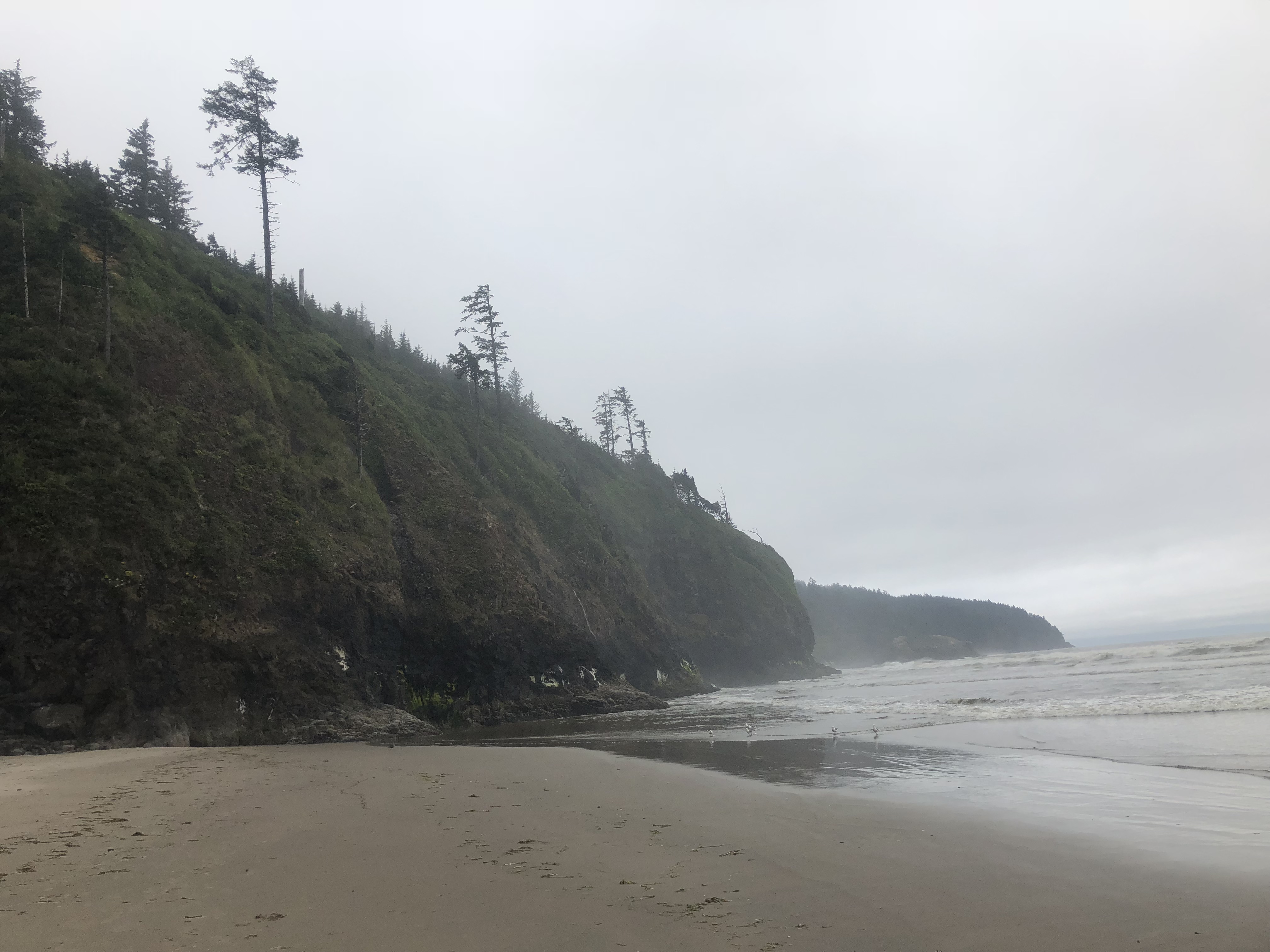
Coming back it’s tempting to do highway 6 again, especially if it’s a Monday. I’ve since heard details of how horrid that route can be, but I suspect early weekday trips tend to be much milder than weekend ones. Another option would be to take the Nestucca River Road route now that the detour of last summer is resolved.