We visit Issaquah about once a month for our orthodontist. I often skip blogging about it unless there’s something exciting and new involved (like adding the Bobike Junior kid seat in place of Bobike Maxi kid seat), but I try to document things more in April for 30 Days of Biking so here we are! Plus we mixed it up bus-wise a bit so this is also a good time to ask for HELP WITH STRATEGIES FOR BIKE/BUS ROUTING!
Here’s what I do:
I start with home-to-destination Google maps transit directions to see which bus(es) go closest to our destination. Often it’s a two- or three-bus trip so I try to find out if we can bike to the last–or at least the second–bus. Often this is the point of that bus’ route closest to home as the crow flies, but sometimes it’s less uphill or less busy-road-stricken for us to hit it somewhere else along the line. Or now that the light rail comes near us, it might be where light rail gets closest to that bus…though we haven’t been incorporating light rail with our multimodal travels much yet. THIS IS ONE SPOT I CAN USE HELP: I want to look at all the stops on a King County Metro or Sound Transit bus and I don’t think the websites show everything, just some of the stops (the timed ones?). When trying to hook up two buses and kids on bikes, I really want to know every single stop. So I pull out my iPhone and check on the OneBusAway (“The Open Source platform for Real Time Transit Info”) app. It seems silly to use both computer and smart phone to figure out my route.
Anyhow, today was a bit different because we ran an errand in Fremont on the way to the orthodontist. We usually catch a bus near home to get downtown where we can transfer to the 554 that takes us 16 miles to Issaquah. I didn’t want to bike back uphill to catch any of our usual buses (mostly for the sake of my nine-year old who was on his own bike, honest!) so I used Google maps transit directions to find an alternate first bus. I settled on the 62 at the corner of 34th and Fremont in front of Starbucks. Bonus: it’s right by PCC Natural Market (where kids get a free piece of fruit) so we grabbed some groceries on the way. Removing a kid from a seat and having to lock up two bikes is a bit more involved than grocery shopping on my own, but even so, bikes still make squeezing in extra errands so easy!
The kids have apparently been paying more attention than I realized and have become savvy bus riders because they suggested I check OneBusAway to make sure the bus was on time. So I checked and discovered it was running six minutes late. We had seven minutes to go a block and a half between buses so when we saw a bus 40 with DOWNTOWN on the display, I decided we’d hop on and figure out our stop once on board. This is way out of my comfort zone! I like plotting our trip the night before and hem and haw for way too long over various options. Thank goodness for smart phones–I spent most of the trip studying the 554 and 40 routes and chose the two stops that lined up best–close to each other, but not in the part of downtown where that close togetherness was down a very steep hill. But! Then I figured since we’d have quite a few extra minutes for our transfer we should do something more interesting than just riding one block of sidewalk. So we got off near the top of the 2nd Avenue protected bike lane and rode most of the way down it…a whopping half mile! It doesn’t connect to anything so I rarely take the kids on it which means it’s always a treat to have a kid or two on his own bike when we’re down here.

Turns out I was wrong about our timing (have I mentioned I’m not a pro at riding the bus?) because as soon as we got off the bikes, the 554 arrived. Usually I fold in my rear baskets and fold down the seat (like in my photo below of our trip back) but there wasn’t time! I even forgot to remove my water bottle, but that side-entry drink cage (the only one I could find that fits in the tiny triangle) held tight.

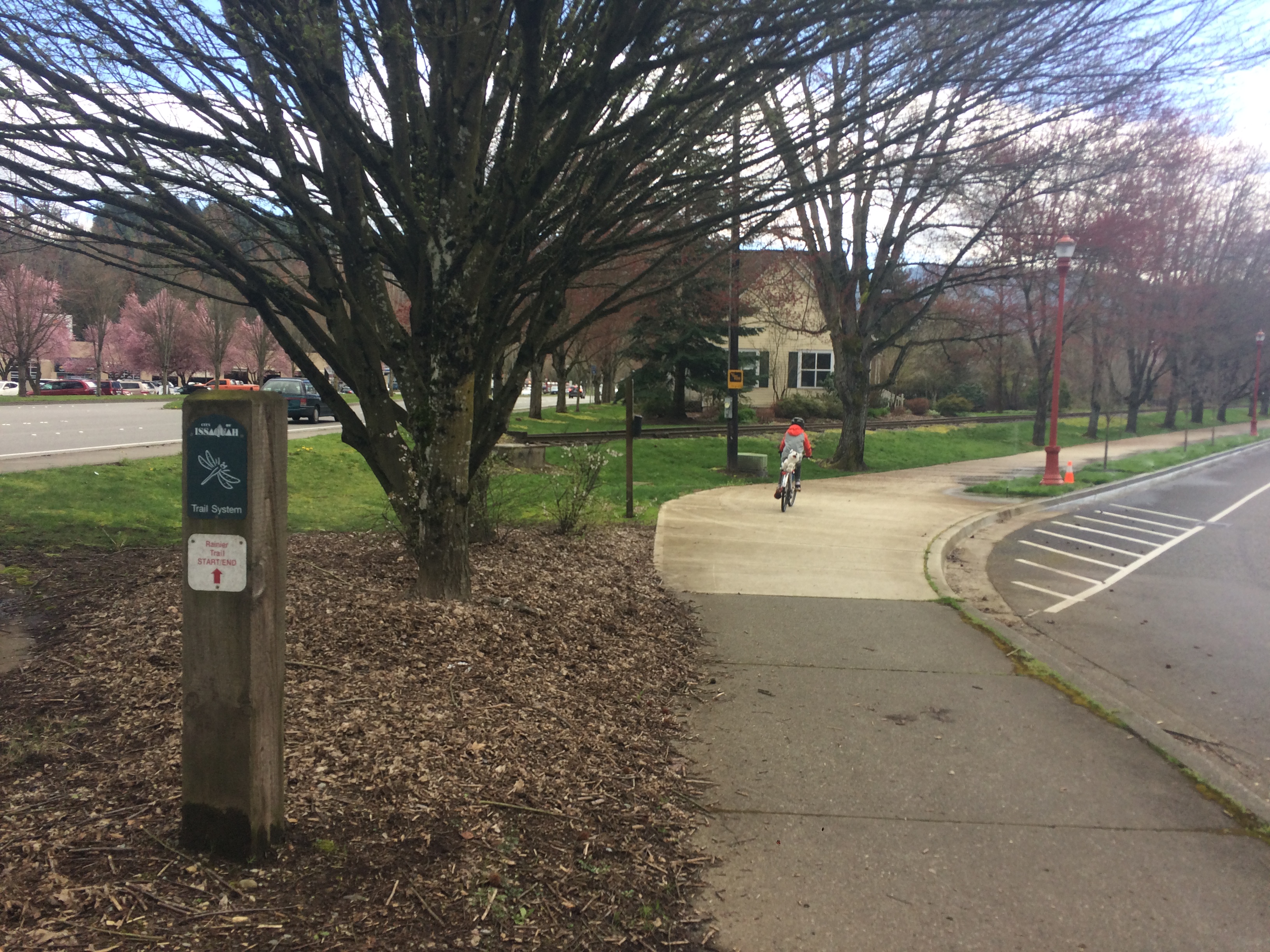
And then we were in Issaquah where the riding is great! It’s a flat mile from the bus stop to the orthodontist and Issaquah has a lot of double-wide sidewalks that are officially part of the Issaquah Trail System so we bike on those.
We usually eat lunch while we’re out this way, either sushi right next door to the orthodontist or Issaquah Brewhouse a block from the bus stop. Today we opted for the brewhouse. It’s a super kid-friendly place, with coloring sheet kid menus, a Duplo table (in the back section that’s usually closed during lunch, but they’ll let kids go play in it anyway) and several games (my guys always choose Battleship, and there are two sets of it). The kid meals used to come on Frisbees, but today they had regular plates. There’s also a dog menu (and that food comes on a Frisbee, too) so we’ll bring Pixie along come warmer weather when the outdoor seating is set up.
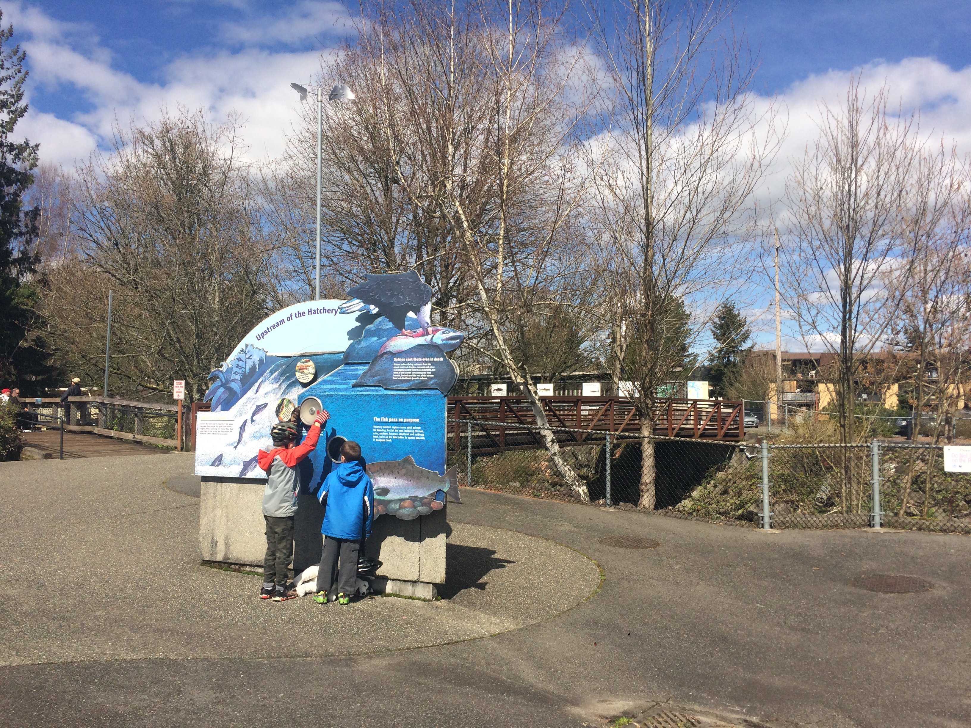
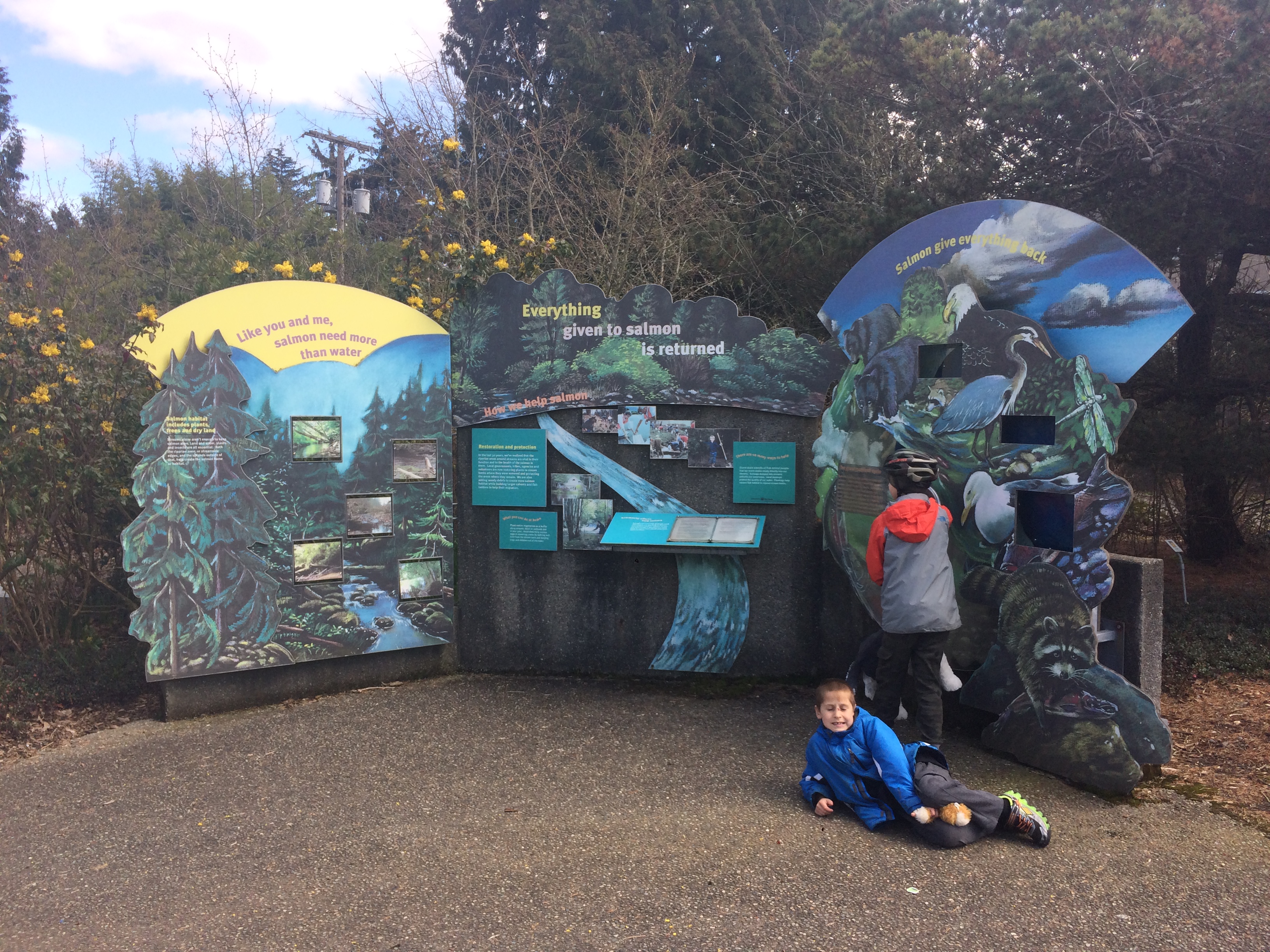
We left the bikes locked up and walked next door to the Issaquah Salmon Hatchery, one of our favorite places to visit. Despite being one of our favorite places to visit, we’ve never strayed from the front part before and I had no idea there was a back section with a fish ladder and many educational displays! Plus there’s a little playground just across the street. Wow!
 |
 |
 |
 |
 |
 |

|  |
 |
 |
 |
 |
But even better than all that, we were invited into the mysterious white trailer we sometimes see parked by the salmon ponds. They were piping in coho fry (babies), clipping their adipose fins, and counting them as they put flushed them out into a different pond. We didn’t get to do any fin clipping, but the kids got to pet them, name them, and put them down the drain. Extremely fun! And we’ll be on the lookout for Banana and Slimy the coho when they swim back up here in four years.

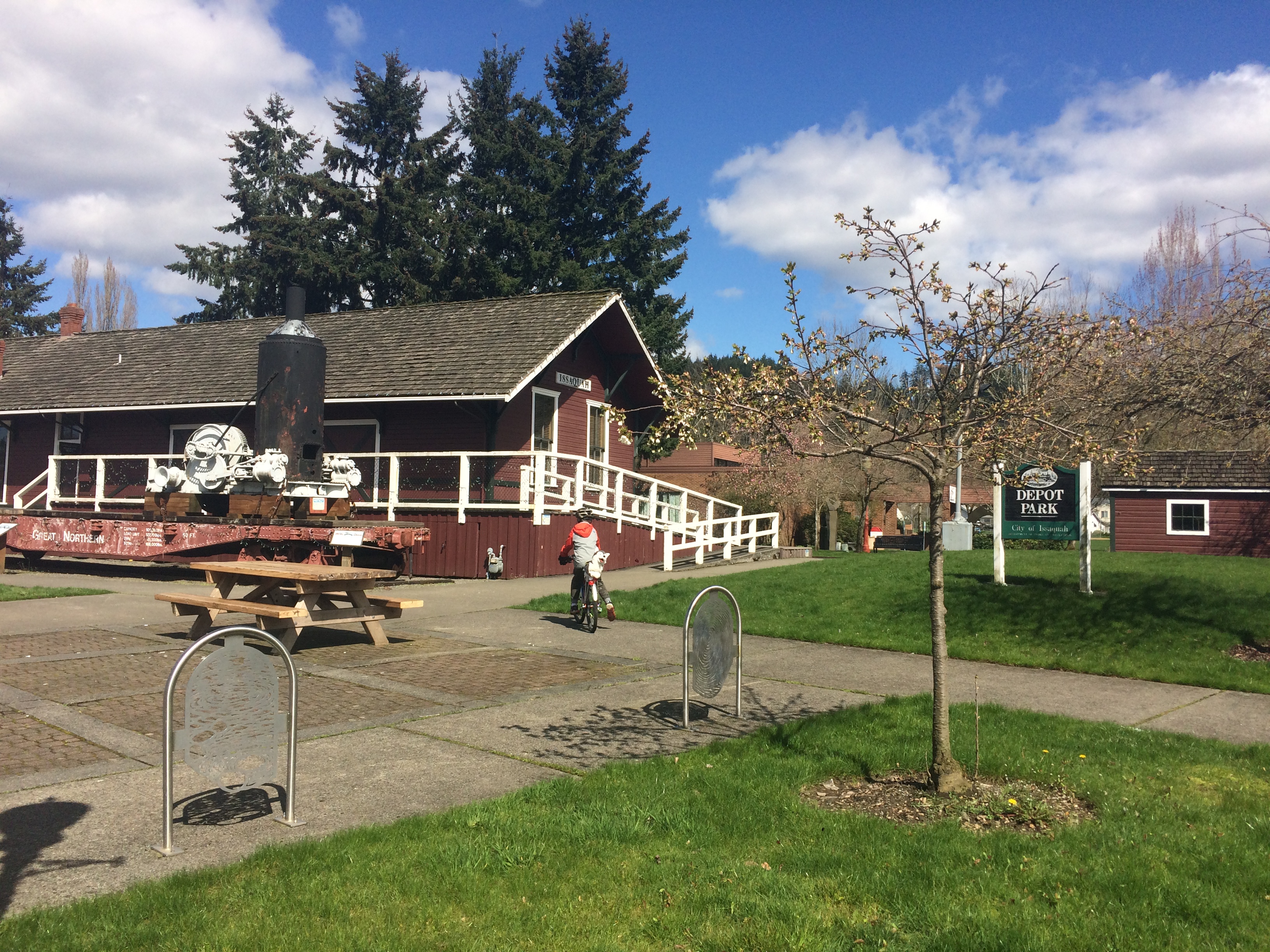
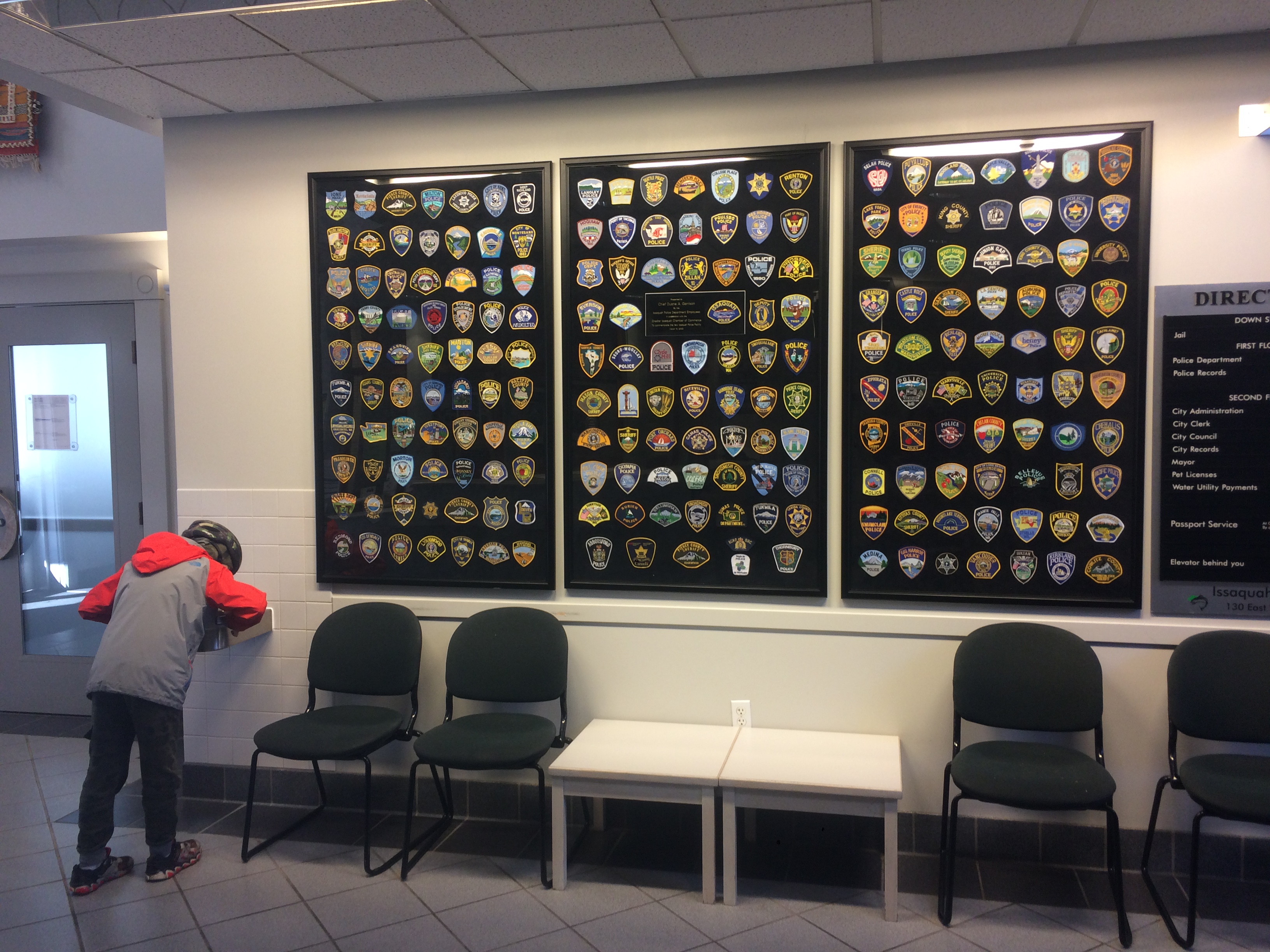
Then we biked a couple blocks (on the sidewalk) to the playground by the train museum, close to the bus stop. The water fountains were shut off (for the season, back on soon?) so we popped in the police station for the restrooms and to fill water bottles before we headed home. There’s a great display of police patches from all around the area inside if you’re into that kind of thing.
And there’s a great statue of an eagle trying to catch a salmon right outside that my kids love climbing on (always) and cutting themselves on (occasionally) while waiting for the bus to arrive.

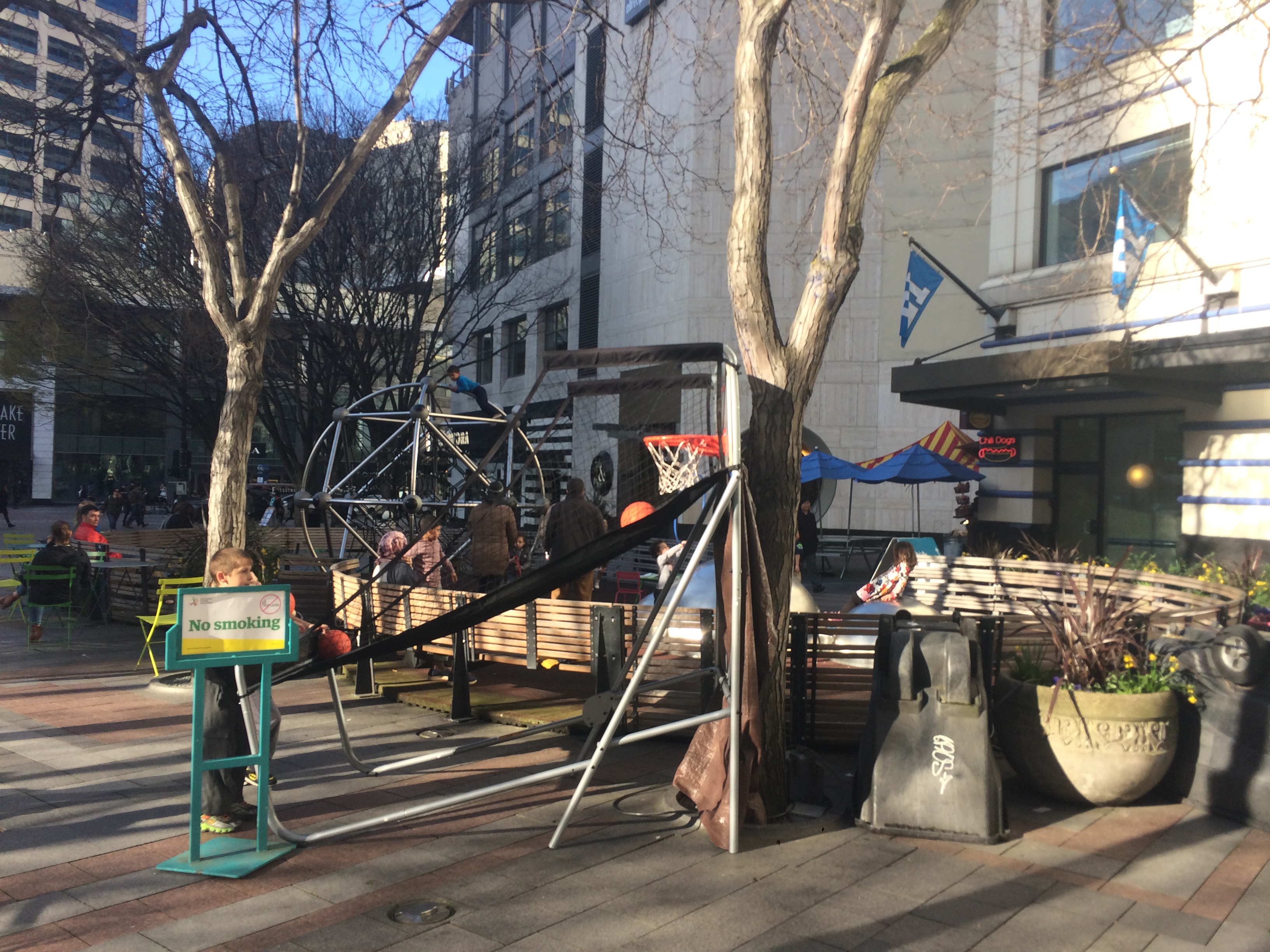
Coming home we usually get off the 554 at Westlake Park and on nice days like today, stop at the playground for a bit. New this time was a little basketball toss.
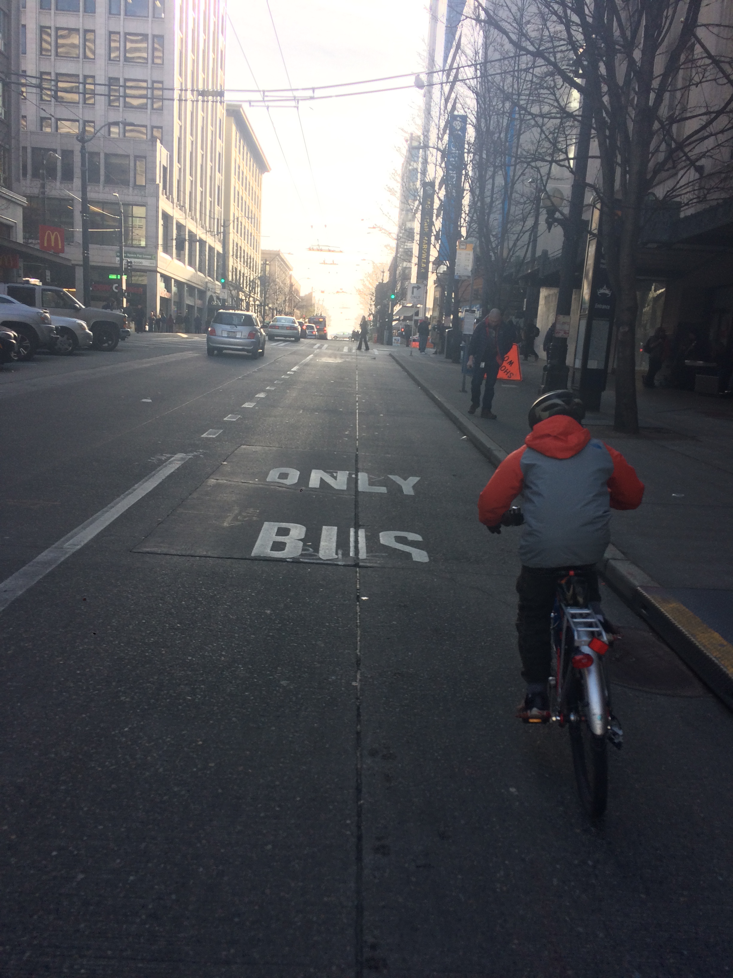
Then just one block of street (and a BUS ONLY lane which is also OK for bikes) and half a block of sidewalk and we caught the bus that drops us off a couple flat blocks from home.
This last stop, as well as PCC to the first bus stop and the Issaquah Depot Park playground to the third bus stop are close enough that my passenger could run ahead so I didn’t have to deal with all the various steps of loading–I wore the backpack rather than pry open a rear basket and in this last case, popped the seat open to accommodate the bag of stuffed animals.

So we made it there and back just fine and had one of our best Issaquah visits ever, but seriously: give me all your bike+bus route finding tips and tricks!

I pretty much do what do you, check the bus routes there and decide what portions I want to ride. I don’t like to take more than one bus, so if I’m going outside of Seattle, I usually just see what bus is going to a nearby park and ride and go from there.
Thanks for the confirmation that this is as good as it gets plotting wise.
Check out the Urban Engines and the Citymapper apps – both of these will give you bike+bus directions that pick the best mix of cycling and bus riding between your start and end points.
Yes! This is exactly what I need! Can’t wait to try them, thanks so much!
Hey cool bus bike racks! I’ve never seen them before. I’m from England – I guess we’re not quite as advanced as you guys yet!
It will be time for another trip to Issaquah for Salmon Days! October 7 and 8: https://www.salmondays.org/ For the festival they have a shuttle bus from the Issaquah bus station but you could do the bike method, also.